Final Reflection

  1. What did you learn about the intersection of technology and instruction? What was your progress on becoming a “tech-savvy” teacher?
  • I really enjoyed this class because it introduced many useful technology we can use in our classrooms both during student teaching and in the future. I think it was really cool to explore different websites and apps to use because I didn’t realize that there are so many options to use in a classroom today. Since today is an ever technological society, I think it is incredibly useful to students to make use of all these resources to accompany their learning.
  1. This class was driven by mini-projects instead of test and papers. How did you respond? What does that tell you about student motivation?
  • I loved how hands on this class was and how we were able to explore every app/websites ourselves. Since it was a class dedicated to learning about the technological aspect of teaching, I think it was great we got to do mini-projects rather than having to do tests and papers. It goes to show how motivating learning can be when it is fun and engaging. This is something to keep in mind for the future as well as teachers because we want to make sure that our students are engaged and having fun learning too.

Final Project: Landmarks

By Amy Huang and Megan Bromley

The target audience of our final project is grade five. This is because we believe this technology is better suited for a higher elementary or middle school grade. In saying this, it could be modified to suit a younger grade. The subject of our lesson is landmarks. We will use in our project; Padlet, Google MyMaps and Google (to research) to involve students in a collaborative lesson designed to create engagement.

We are using technology in our lesson to enable students to see visually the landmarks they are researching, on a map. Students will work in pairs during the lesson to research their randomly given country and create their own MyMaps. At the end of our lesson, students have the opportunity to share their findings with their peers and have a discussion about the interesting landmarks they have found.

Made with Padlet

Link to create your own Google MyMaps: Google MyMaps

VideoAnt

VideoAnt is an app that allows students to watch a video and answer questions associated with the lesson the video is touching upon. For teachers, it is a simple app to use that only requires copying a youtube video link. You can insert questions throughout the length of the video. As the students watch the video, the questions are there on the side and will flash yellow really quickly to let the students know there is a question to answer. When students reply to the question, they can later see other responses. This makes for a good discussion about the subject.

However, once the question flashes, the video keeps on going which does not allow students much time to answer the question. In order to respond, they would have to pause the video themselves to answer. It also does not allow for different questions such as multiple choice or true/false.

Virtual tour around the US

By: Amy Huang and Rylee Seekins

We used Quicktime player to screen record our tour around the US and then we uploaded it to youtube. We found it really easy to use/navigate especially with a microphone that helped focus on your voice. The tool itself is simple to use and would be useful in a classroom if students were being assigned to record something on a screen.

Landmarks around the United States

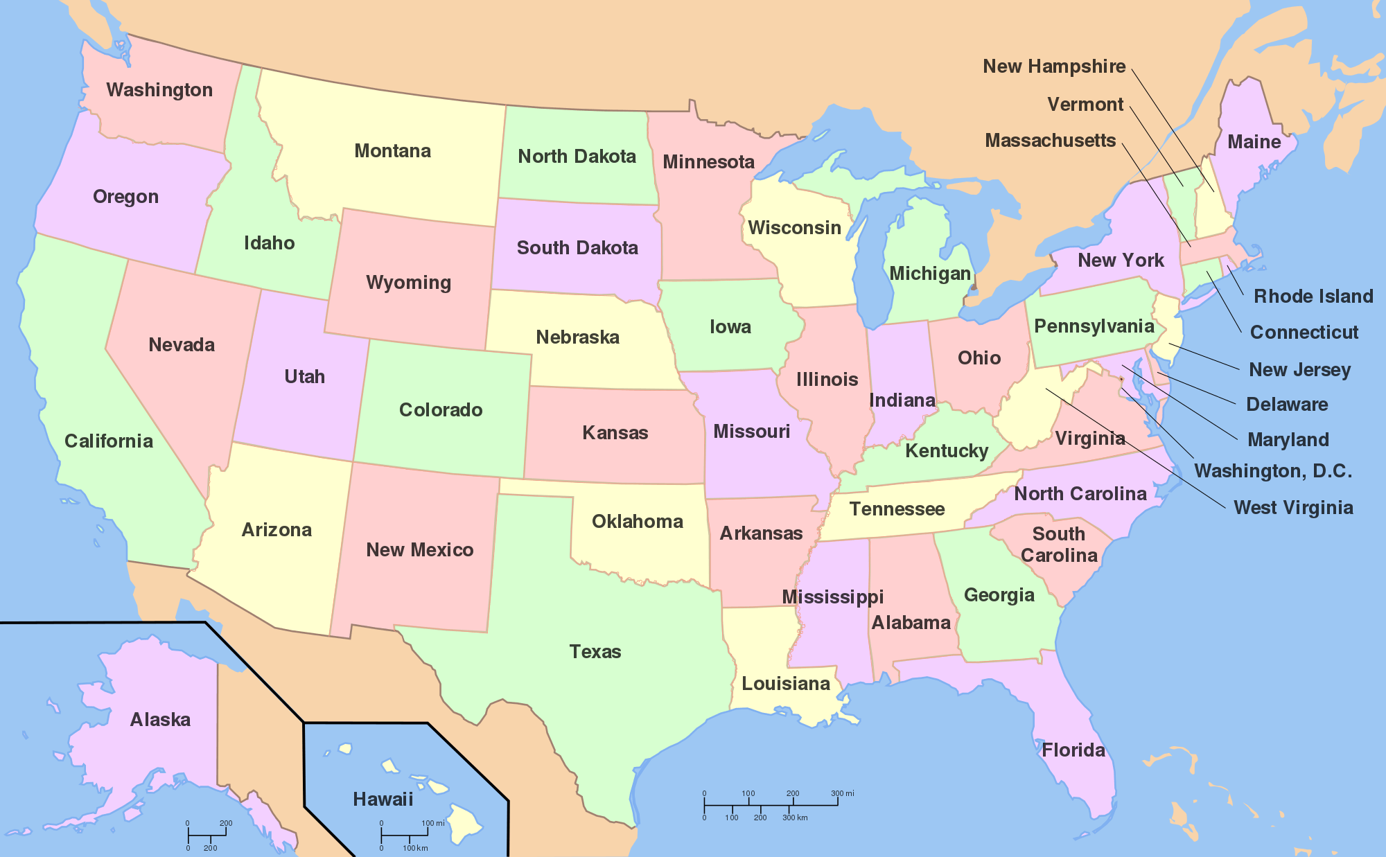
I used Thinglink to create an interactive map on landmarks around the US. I thought that the app was pretty simple to use when it came to adding pictures/dots/information. I think that it is a extremely useful tool if you wanted to do a lesson on a particular subject. Teachers can use it for pretty much any lessons within different subjects such as social studies, science, math, etc. It allows students to be interactive with their learning, which I think will help engage them on the topic at hand.

The other app we explored was Google Tour. I thought that this was also a cool app to use, but it is more limited on what you can use it for. This is because it uses actual locations and its street view. This means that your options are a little more limited compared to Thinglink where you can upload any photos you wish (i.e. animals, landmarks, objects etc.) For a classroom setting, I would recommend Thinglink over Google Tour just because it is more flexible and easier to use.

Sway vs Adobe Spark

Places I Want To Go

After using both Sway and Adobe Spark, I think that Adobe Spark is easier to use, especially for children. Adobe spark is a lot easier to navigate and the format is simple to use. It sort of seems like a powerpoint presentation that simply flows a little better visually. On the other hand, Sway was not terribly hard to figure out, but it was definitely more difficult to navigate the website compared to Adobe Spark. I would prefer to use Adobe Spark in a classroom full of children, simply to avoid any confusion on how to operate the site. I think that this site would be an awesome way for students (especially upper graders) to create presentations with. It could take the place of the traditional powerpoint and is easy enough to use.

Where I’m From: Pleasanton, CA

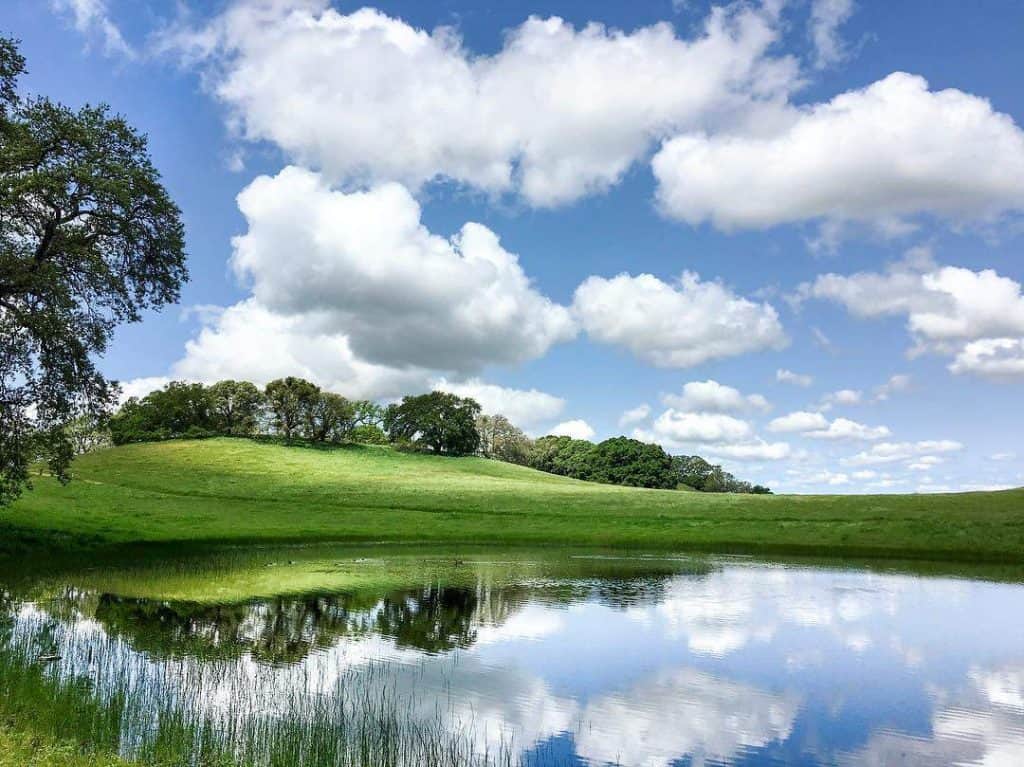
This blog post is about where I’m from. I used pictures from google and my own photos to tell my story about where I come from. I think that Sway is a good way to organize your own story however you want and with images you choose. It provides a good visual while also telling your story at the same time. I think that this program is a little hard to be creative with formats, but you are able to rearrange your post in a few different ways. It is also a bit hard to navigate, but could possibly be used for projects that students create.

The Tortoise and the Hare

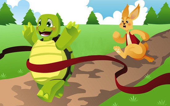
This Adobe Spark Video is a narration of one of Aesop’s Fable, “The Tortoise and the Hare.” Students can use this app to re-tell an already existing story or use it to narrate their own made up story. Teachers can have students write their own story first, and then let them use Adobe Spark to create a narration with images. Since it is easy to add images and narration, students can easily make their writing come alive. One challenge to using this in class would be the amount of laptops available. If there is not enough for every student, it could take awhile for every student to make their own Adobe Spark Video.

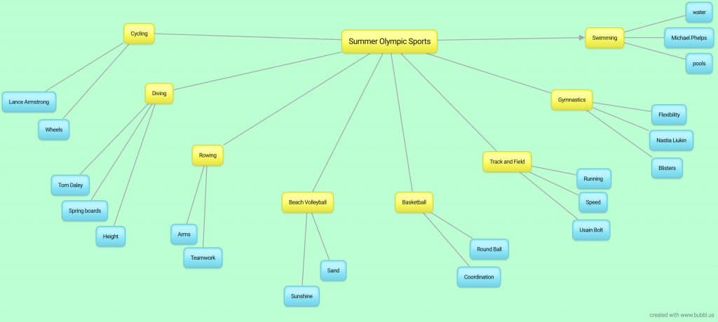
Bubbl.us

https://bubbl.us/NTA4MTQ0OS85NzE5ODkwLzg4ZGUyOTk0NDgzZTdlZjU2NmRhMDE2YzdjYjEzNDdi-X?utm_source=shared-link&utm_medium=link&s=9719890

Bubble.us is an app that allows someone to map out their thoughts in regard to a certain topics. It can be used for anything such as a family tree to writing out prompts for an essay. One thing about it is that it is relatively simple as it does not allow anything fancy such as embedding links or pictures. Anything extra may cost the user money in order to use the function. While making the mindmap, users can change the colors of each little bubble and also the background color of the entire mindmap as well. One helpful function of it is that you can download a jpg image of it which students can print out for their reference. This could be beneficial for someone who has a hard time handwriting as the app does make it look more organized versus if you had to write it out yourself. However, in the end, it seems that it may easier and more time manageable to have students physically draw out their own mindmaps rather than go through the trouble of digitalizing it.

A Guide to the University of California Campuses

This map is for those applying to college and are considering attending one of the University of California campuses. I really like how you can use MyMaps to explore different prompts. I like how students can easily navigate around the maps and see pictures and explanations of the place with one click. Teachers can use MyMaps for different reasons such as for showing capitals of US states or even different iconic landmarks around the world. It is also super cool that students can get a visual of exactly where everything is located.

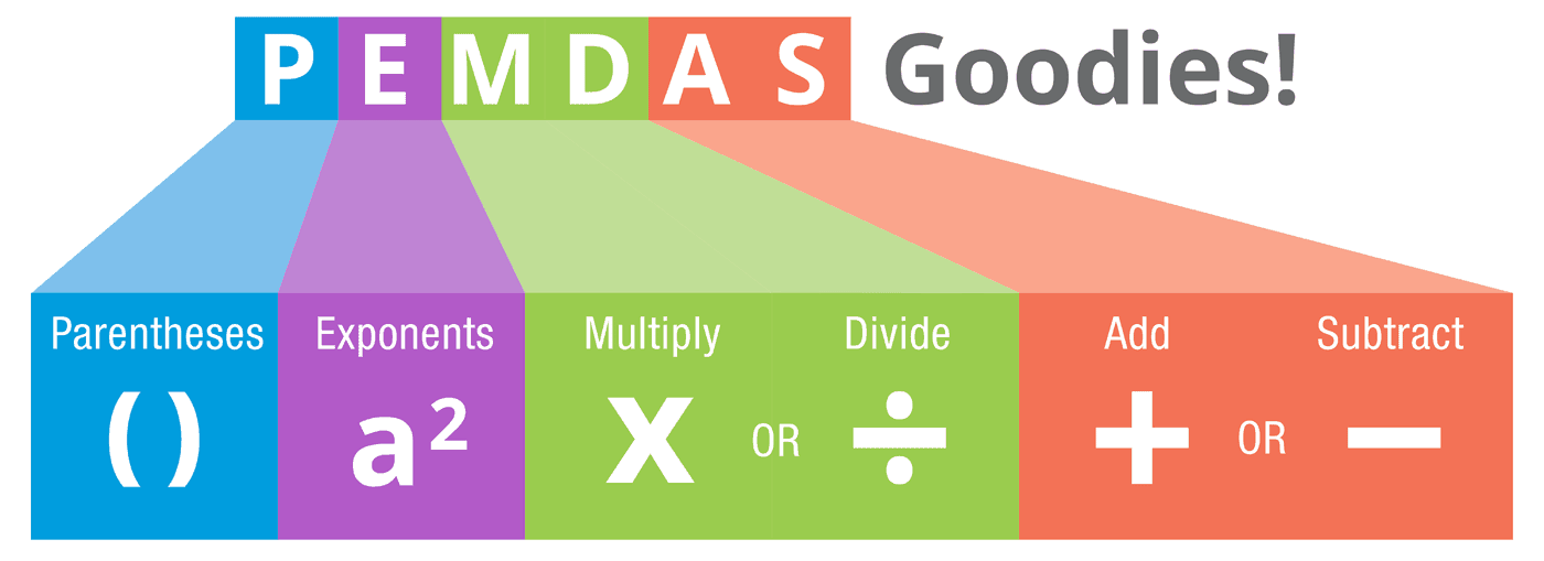
PEMDAS quiz

post by: Amy Huang and Rylee Seekins

This is a quiz to test third-graders on their knowledge of the steps to PEMDAS. Since the teacher can’t see how well they do, this would be used for more like a way for students to review the topic themselves rather than be used as a formal assessment.