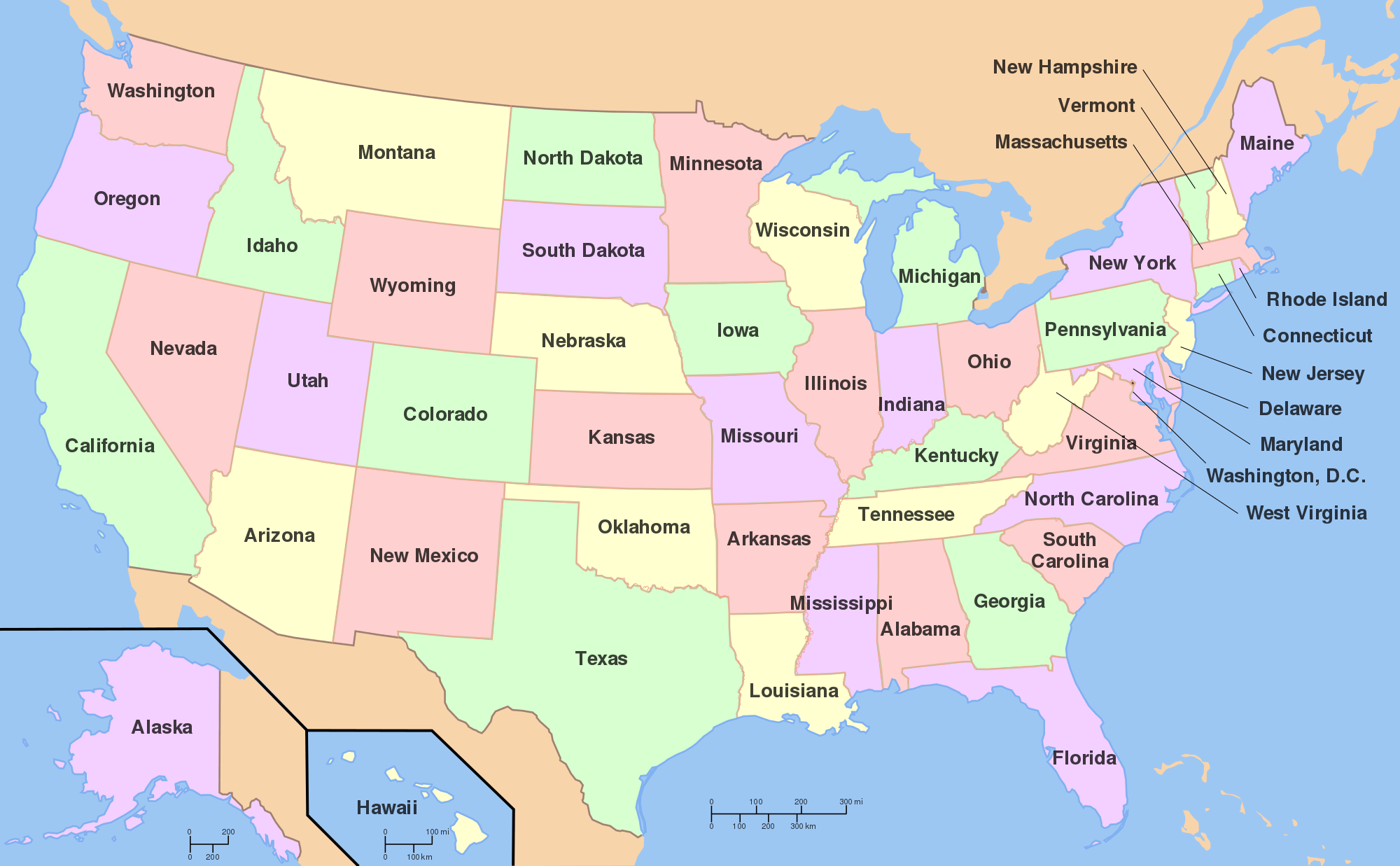
I used Thinglink to create an interactive map on landmarks around the US. I thought that the app was pretty simple to use when it came to adding pictures/dots/information. I think that it is a extremely useful tool if you wanted to do a lesson on a particular subject. Teachers can use it for pretty much any lessons within different subjects such as social studies, science, math, etc. It allows students to be interactive with their learning, which I think will help engage them on the topic at hand.
The other app we explored was Google Tour. I thought that this was also a cool app to use, but it is more limited on what you can use it for. This is because it uses actual locations and its street view. This means that your options are a little more limited compared to Thinglink where you can upload any photos you wish (i.e. animals, landmarks, objects etc.) For a classroom setting, I would recommend Thinglink over Google Tour just because it is more flexible and easier to use.


Great idea for a ThingLink!
Love how interactive this is!