By: Margaret Buzard and Melissa Sta. Maria
Context – 4th grade, science, research project, summative project on habitats or animals .
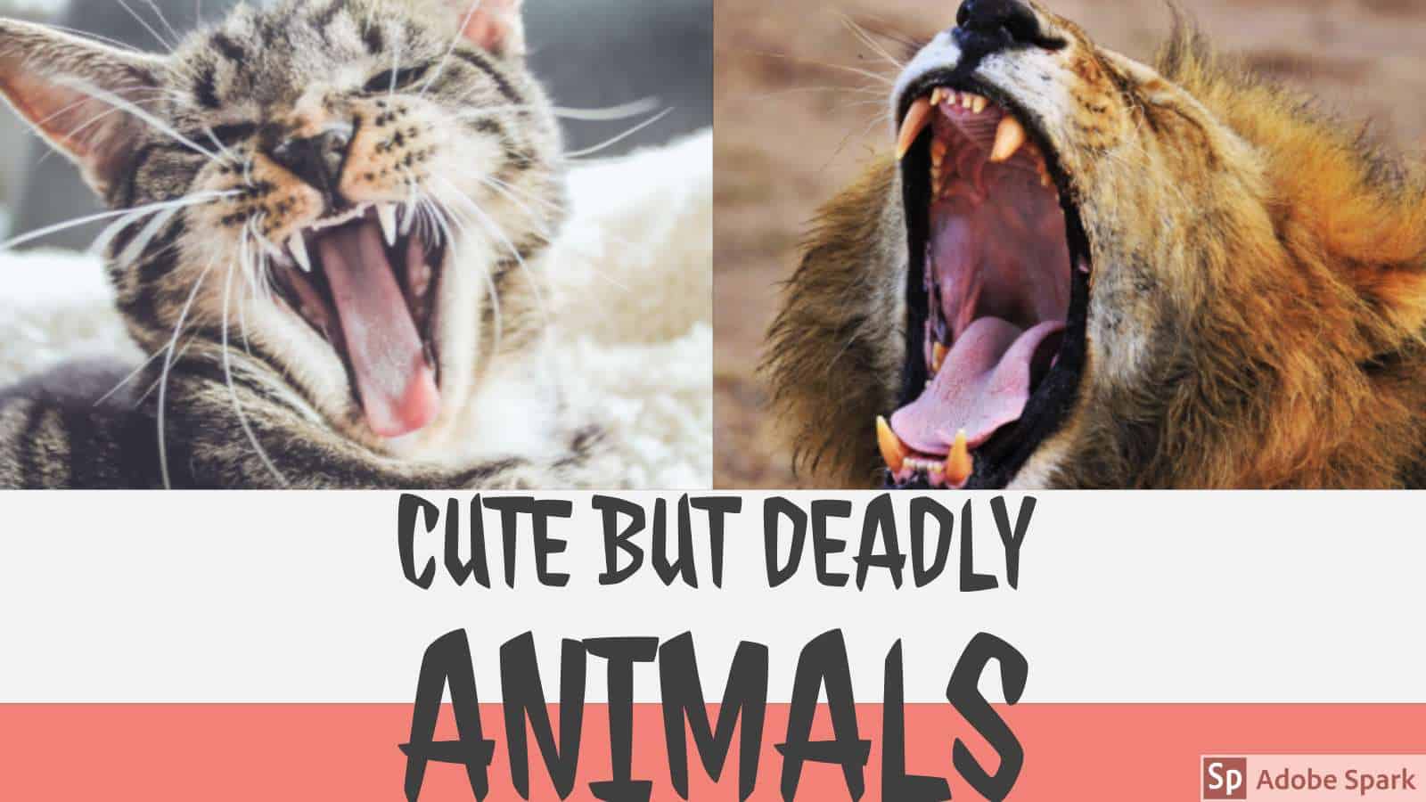
Content – the students will be learning about cute but deadly animals and where they are from.
Process – The teacher will give students a list of animals to choose from that are “cute, but deadly”. The students will then be tasked with researching this particular animal and finding out the specifics of where they are from, why they are deadly, and other fun facts. If students have other animals they would like to research off the list, they can speak personally with the teacher.
This information will then be inputted into a Google Form, for the teacher to integrate this into MyMaps to demonstrate their research skills and knowledge of animals and their habitats.
Layout – since MyMaps is not compatible with iBooks we might have to get creative with screenshots and captions to express how MyMaps will work with the lesson.
Audience – this lesson idea will be presented for teacher use.
Our original lesson plan idea:
This lesson would be used during a science unit on dangerous animals. On MyMaps, you will notice several different icons and their general locations on the map. Once you click on a particular icon, you will see the adorable picture of the animal that lives there. However, if you click the arrow to see the next image, you discover the dangerous side of the animal. Below these images, you will find the common location of this animal as well as the reasoning for why they are so dangerous.
In our field experience classrooms, we have noticed how excited kids get when they see dangerous animals. These are typically creatures they may not see on a daily basis, so this lesson would build on their curiosity and invite them to explore the world around them. Students could upload their own cute, but deadly animal to understand how appearances can be deceiving.


