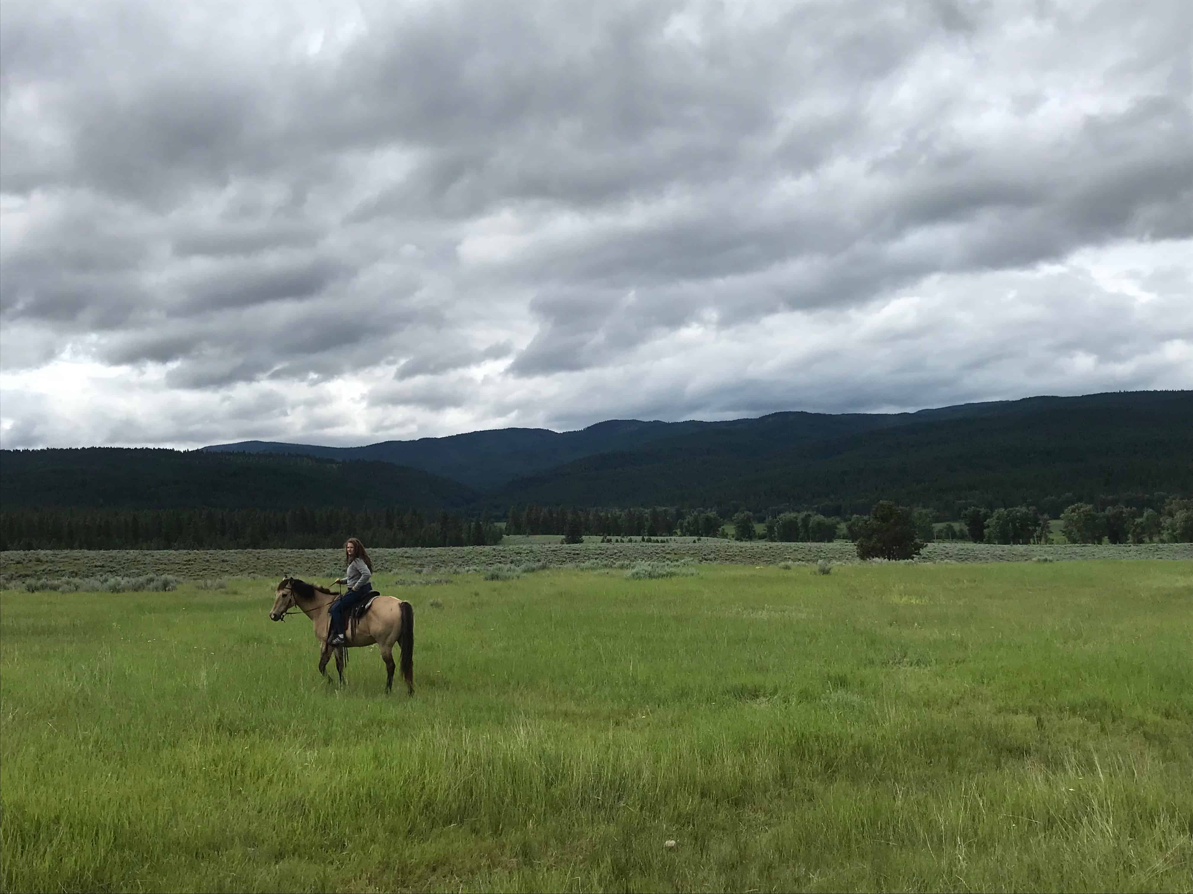
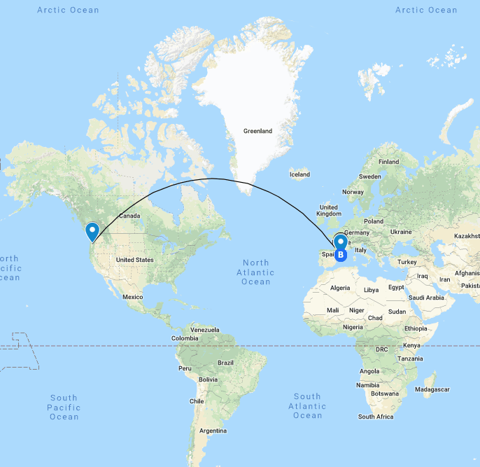
This map shows my journey from Milwaukee, WI to Missoula, MT. It was a long crammed ride, but definately worth it because of all the scenery and experiences!
Google My Maps

The art and craft of teaching with technology
This map shows my journey from Milwaukee, WI to Missoula, MT. It was a long crammed ride, but definately worth it because of all the scenery and experiences!

This is a MyMaps to show the top natural disasters in the US. This would be used for older grades to educate students on where the natural disasters are. On each location, students can press of the location and find links, videos, and information on each disaster. I also think students can see geographically where many of the natural disasters happen. For instance, hurricanes are on the coast and tornados are inland.
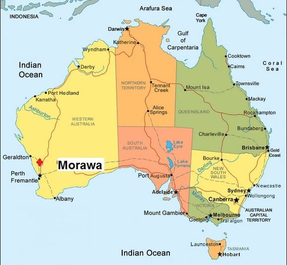
I created this map to introduce myself to my future students. I thought this would be a more enticing way for students to learn about my past and my life experiences, specially in Australia. As a teacher does this to show something about themselves, they could also have the students make a mymap to do an all about me. The students can make it specific to an event in their life or make it broad and do facts about themselves.
Goals:
Students will be able to discover information about other students in the class through an interactive informational map.
Students will be able to introduce themselves and events from their lives to their classmates.
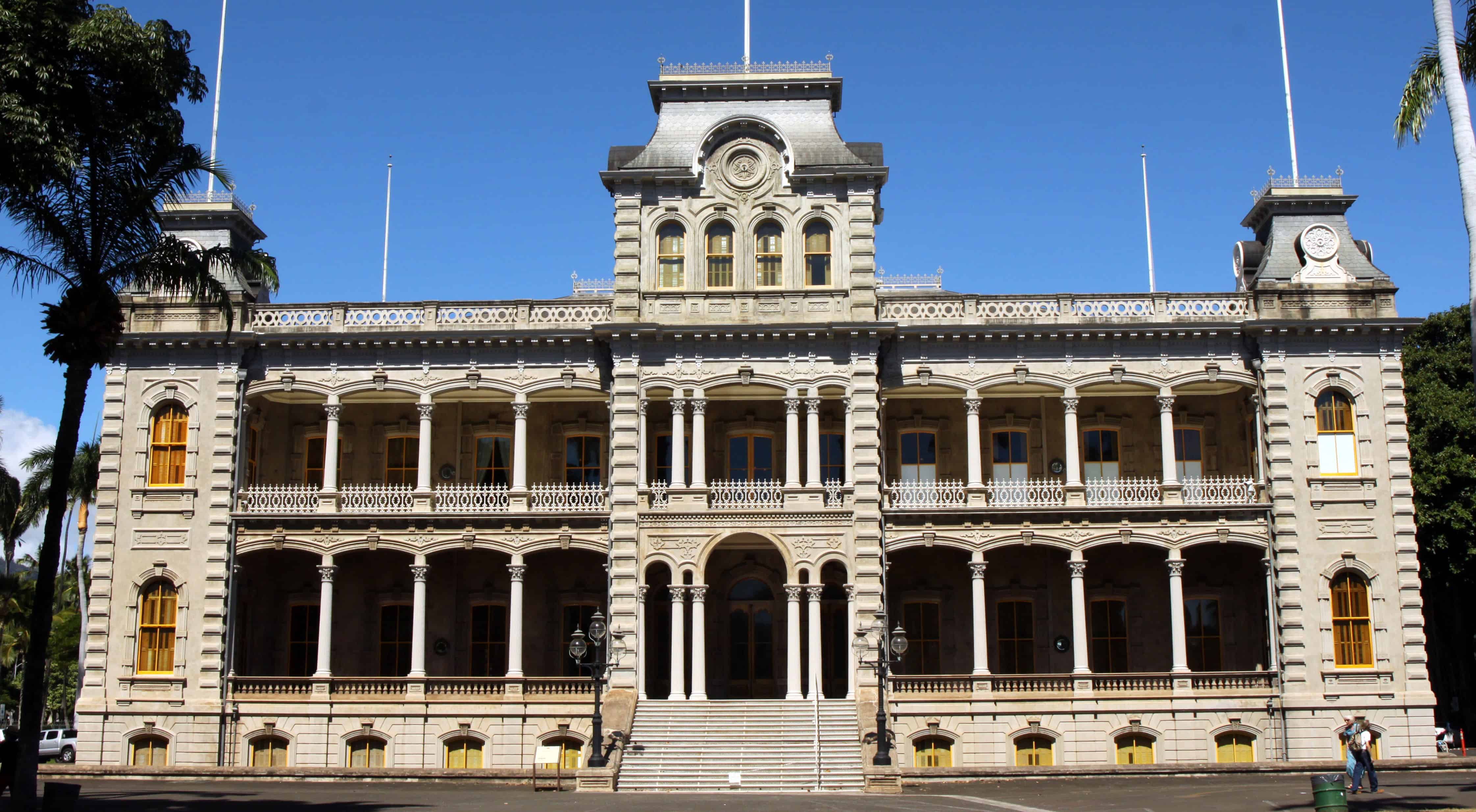
I created this map to teach people about historical landmarks of Hawaii and the events that took place at this landmarks. I thought this would be a good idea because as a teacher, I would want my students to know about where I am and the important history surrounding my home. This project taught me that creating a mymap is not as difficult as it looks, and in the future I will create MyMaps for places I want to visit! Mymaps is a great organizational and travel tool.
This map is designed to help fifth graders learn the main crops in each region in the US. This can be tied with a health, social studies, or map unit.
Students can compare the different regions of the US and use previous knowledge about the terrain and weather of the different regions to try to predict why these crops are able to grow. They can try to figure out which crops are the most prevalent in the US and which are the most uncommon.
Cover Photo: Thorn

This map is for those applying to college and are considering attending one of the University of California campuses. I really like how you can use MyMaps to explore different prompts. I like how students can easily navigate around the maps and see pictures and explanations of the place with one click. Teachers can use MyMaps for different reasons such as for showing capitals of US states or even different iconic landmarks around the world. It is also super cool that students can get a visual of exactly where everything is located.
by Lauryn Nakashima & Sabrina Pangelinan
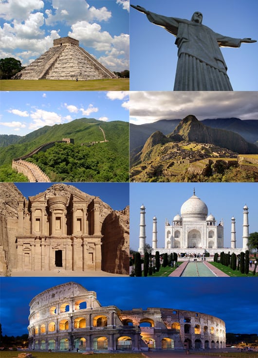
This can be used as a geography lesson to introduce students to the different wonders of the world. As a class, they can compare and contrast similarities and differences between the different landmarks.
Start by clicking an icon on the map to view the different wonders where you can find pictures/videos, read brief descriptions, and visit links to learn more about them.

This is a map of the natural wonders of Australia. I did it a map about Australia because a) I know more about Australia then I do about the US!, b) I thought it would be a good example of what students could do for the country they do live in. Additionally, students could use this example and create their own of a country of their own choosing. If you click on each icon, there are pictures and videos about the natural wonder. I think this is a great concept and use of technology. I did not know this existed before today but I plan on using it in the future to possible teach Geography and locations around the world. It is also a great resource for students to learn and use.
This could also be used to plan local field trips, visit local historical sites digitally and explore the local area. If being used to plan field trips, parents could be sent the map and they can see exactly where their children are going.

I hope students can help plan a family valentines day event. Maybe going to a event, doing an activity, or going to a brewery.
I learned how to Map different activities and that I could use this offline on my phone.
Created by Audrey Muller and Lauren Alvarez.
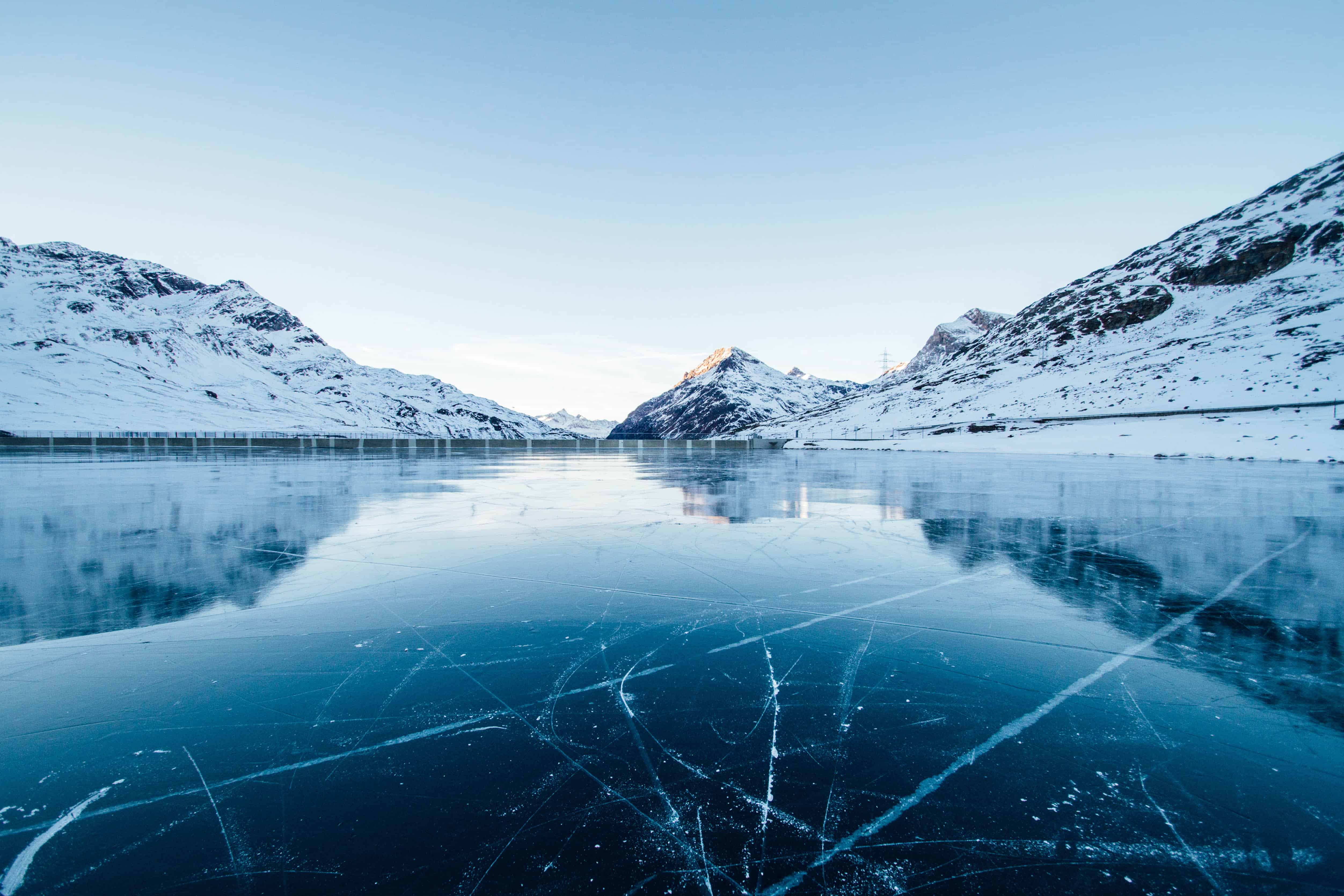
Glaciers are disappearing fast! Learn about them while you can! This neat interactive tool makes learning fun. 🙂
Students can use this map to view the largest glaciers left on Earth. Many glaciers are receding over the years due to global warming. Students can interact with each glacier through pictures and videos.

By: Sam Laughlin and Caroline Halvorson
This is a map following the Oregon Trail. Typically in the 4th grade students learn about the Oregon trail and having an interactive map that leads to outside sources with information. The map conveys the path of the trail and can see what the topographical map would have looked like then as well as how long it would have taken then to travel across the continent versus what it takes now.
This map serves as a preview for students and parents to see the different places we will be visiting in Barcelona, Spain and what we will be doing for each day in Barcelona. There are walking directions for each day that always begin at the hotel and includes key historic and cultural locations we will visit. This map does not include all of the restaurants we will eat at, we will decide on the places we want to eat as a class! Click on each location to see a video or image that corresponds with the location.
Get excited for our trip!!!