Some people are unaware that the stories told by Laura Ingalls Wilder in her children book series Little House on the Prairie, came from her life as a pioneer. This is a Sway presentation to show people the places where her life and books overlap, and to tell the stories of her life that she left out of the books. It also includes a clip of the TV show Little House on the Prairie, which was based on the books, and aired from 1974-1983.
Local Portland Universities
This is a resource for highschool students who are exploring their post-graduation options and wish to stay in or move to the Portland area. The map shows the locations of various colleges located in and around Portland, OR. Clicking on one of the universities displays a snippet of information about the school, their logo, and a short video created by the school’s marketing team.
Laboratory Supplies Lesson
My lesson is on lab supplies and how to work with them. This gallery would be used as a visual aid for students becoming familiar with the various chemical containers that will be commonly used throughout the course, and the summaries below will be presented alongside the images.
Erlenmeyer flasks are conical, flat bottomed flasks generally made of clear glass. Their shapes allows for easy stirring and boiling with minimal risk of spillage.
Beakers are cylindrical, flat bottomed containers generally made of clear glass and usually have a small spout on the lip to aid in pouring.
Round-bottom flasks are spherical, round bottomed (surprise!) flasks almost always made of glass. These flasks are commonly attached to other lab apparatuses in order to distill products or boil samples.
Guiding questions:
When might you consider using an Erlenmeyer flask verses a beaker?
Why might a flat bottomed container be preferred over a round bottomed container?
What advantages does a round bottomed flask offer over the other two types of containers?
“Apples to Oregon” by Deborah Hopkinson (Interactive Story Map)
By Dylan Hite, Hanna Knouf, and Laura Barros
[embedit snippet=”apples-to-oregon-2″]
Title of Book: Apples to Oregon: Being the (Slightly) True Narrative of How a Brave Pioneer Father Brought Apples, Peaches, Pears, Plums, Grapes, and Cherries (and Children) Across the Plains
Author: Deborah Hopkinson
Illustrator: Nancy Carpenter
Year written: 2004
This story is about a family of farmers who travel across the country from Iowa to Oregon in search of a new home and more land. They take all of their crops in their wagon in order to start a new life out West, and the book tells some of the experiences that they have, and ones which many pioneers experienced on the Oregon Trail.
Excerpt from book: “So Daddy built two of the biggest boxes you could ever hope to see. He set them into a sturdy wagon and shoveled in good, wormy dirt. Then he filled every inch with little plants and trees. Hundreds of them! Daddy was ready for the most daring adventure in the history of fruit.”
This book could be used for a lesson on the Oregon Trail because it shows another perspective from the pioneers that is relate-able and easy to read. Students can use Google My Maps to create their own journey that the characters go on, where they write the descriptions, pick the pictures, and turn it into their own post. I think Google My Maps allows for a lot of creativity in the classroom and for students to get more engaged in what they are reading and studying! Teachers could also make this a collaborative effort like it was for us, so that ideas can be shared among many students.
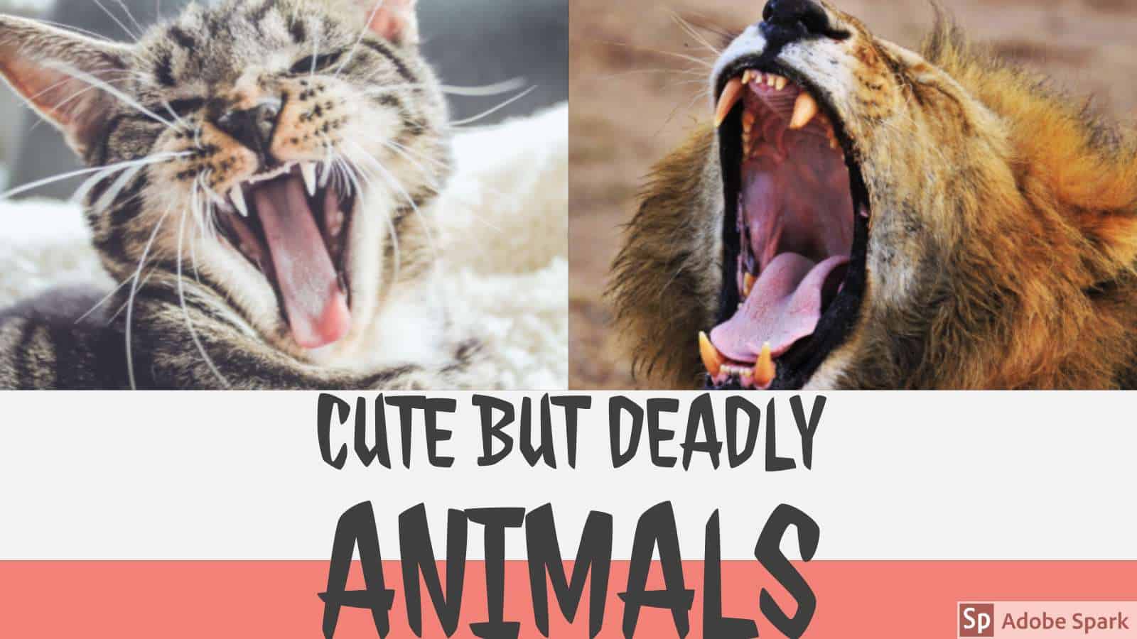
Cute But Deadly Animals on MyMaps
By: Margaret Buzard and Melissa Sta. Maria
This lesson would be used during a science unit on dangerous animals. On MyMaps, you will notice several different icons and their general locations on the map. Once you click on a particular icon, you will see the adorable picture of the animal that lives there. However, if you click the arrow to see the next image, you discover the dangerous side of the animal. Below these images, you will find the common location of this animal as well as the reasoning for why they are so dangerous.
In our field experience classrooms, we have noticed how excited kids get when they see dangerous animals. These are typically creatures they may not see on a daily basis, so this lesson would build on their curiosity and invite them to explore the world around them. Students could upload their own cute, but deadly animal to understand how appearances can be deceiving.
Schools around the World
By Madison Hughes and Bridget Ponzetti
Our lesson is based on the article, “How classrooms look around the world-in 15 amazing photographs,” by Valerie Strauss. Our goal for this lesson is for students to be exposed to different classrooms and cultures around the world. The classroom settings range from Russia to Brazil, and the students range from primary school to secondary school. One classroom in Pakistan is very minimalist, and illustrates how through a lack of resources, but a great deal of imagination, the outdoors can become a classroom. In contrast, one classroom in Morocco exhibits their creativity through paintings on the walls. The students will be able to compare and contrast their own personal experience in school with the students in the photographs. Students will become open-minded and globally curious. Students, through reflection, will gain an appreciation for the resources that they have.
States and Capitals
Kiana and Jordyn’s MyMap is intended to be used during a Social Studies unit on States and Capitals. Students will have the opportunity to participate in a virtual road trip throughout the continental United States. Each Geotag includes a picture so students can see what each capital looks like. Throughout this unit students can click on each capital and then research information about the state. As the unit progresses students will continue to add facts they learned in the description resulting in a detailed MyMap at the end of the unit.
This lesson is connected to Oregon’s fifth grade Social Studies standard “5.7 Identify, locate, and describe places and regions in the United States.” In utilizing this MyMap teachers are able to meet this standard while allowing students to explore, collaborate and learn as a class.
MyMaps to Facilitate Classroom Relationships
In this project, students and teachers will create a MyMap of their own that illustrates where they are from. Students should use pictures, videos, and short dialogue to inform their maps. The students are free to share whatever they feel comfortable sharing. This may include homes, schools, favorite restaurants, or general cities. We ask students to have at least five points with at least one picture and a short paragraph for each.
In creating this map, we hoped to help students get to know each other better, build classroom community, and better understand geography. Additionally, students learned how to use and manipulate their own MyMaps to tell a story – ultimately furthering our goal of digital literacy.
This project helped us learn the background of our students to help us better understand where they are coming from. This is crucial for teachers and students both to understand each other as we begin to form our classroom community.
How To Make Nachos!!
Hanna and Laura’s lesson teaches students how to make nachos! Students can go through each slide to see different steps in the nacho making process. At the end, we ask students to order the pictures correctly in the comments section, allowing them to try using technology themselves. They also have an activity where they draw their own nachos, which we did since we are both in kindergarten classrooms.
Interactive Titration Pre-Lab
This Google Slides project allows students to work through a pre-lab, gain back ground knowledge, see an example experiment, and even input data from their own experiment. This will cut down on distractions and create one, easily accessible place for student to generate, record, and share their work.
Featured Image: Wikimedia Commons
Go The Disney Distance…
By: Margaret Buzard and Melissa Sta. Maria
For our collaborative Google slide activity, we have created a Disney Jeopardy game. Our game has three categories: Songs, Movies, and Characters. Students would see this example as inspiration for them to create their own Jeopardy games. Our hope is that our students will use this format (found online) to create their own Jeopardy game, perhaps to create a fun study guide for class vocabulary. This will help students use technology in a fun, unique way.
When we were students, we loved learning through Jeopardy games. It was a way for us to assess our knowledge in a competitive way. We hope our students see it in this way too.
What should I wear?
This is an instructional resource for primary elementary grades to use during a weather unit. This is an exciting way to help students associate appropriate weather attire with the seasons. This also provides students with the unique opportunity to learn through exploration independently or as a class.
While making this Google slide show we learned how to hyperlink slides to other slides. We also learned about other ways to make lessons more entertaining and engaging for visual learners while still teaching important content. We are both looking forward to creating adventure stories, and other Google slide show lessons, in order to utilize technology effectively in our future classrooms.