Spain Class Field Trip

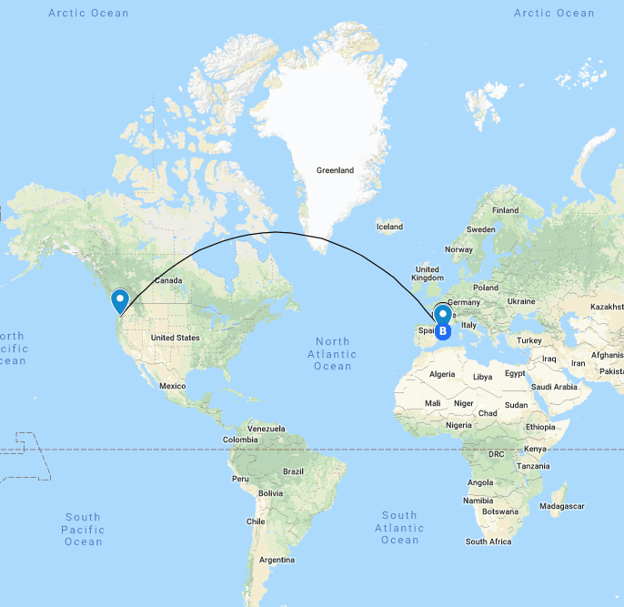
This map serves as a preview for students and parents to see the different places we will be visiting in Barcelona, Spain and what we will be doing for each day in Barcelona. There are walking directions for each day that always begin at the hotel and includes key historic and cultural locations we will visit. This map does not include all of the restaurants we will eat at, we will decide on the places we want to eat as a class! Click on each location to see a video or image that corresponds with the location.

Get excited for our trip!!!

Oregon Zoo Field Trip

In my classroom, I can see myself using this tool as a helpful resource for planning field trips and informing parents on where we will be going and what’s happening. Sending this to chaperones will be especially helpful if they can access the maps on their phone because the teacher can plan ahead and add any information they might need to know along the way like emergency numbers, meeting times and places, estimated arrival times, assigned groups, and obviously directions.

Starting at the University of Portland, students will meet at the Chiles Center to carpool and then follow the driving directions to the Oregon Zoo. After meeting out front of the zoo to group up with chaperones, groups will follow the yellow icons around the zoo to see certain animals and have a designated spot to meet up for lunch.

Note: these are not exact locations of animals, just examples of what you could do if you knew the real places.

Amusement Park Road Trip!

This map includes six of the top amusement parks in Southern California, ranging between Santa Clarita and San Diego.

Each destination is fit with a description of the park along with a few photos, videos, and links to the official park websites.

Students can use this method to share about a fun vacation they may have experienced over Summer Break, or use a map like this as a timeline of where they are from, where they’ve lived or moved to, etc.

6 Hikes in Oregon

By: Rylee Seekins

I chose to display a map of 6 different hikes in Oregon, because I have a passion for hiking and the outdoors. I think my maps is a great way for students to express creativity. They have the option to explore different parts of the world, or they can use it to make a map of their favorite books or activities. This could be a good way to get to know other classmates and discover more about yourself.

Get to Know Me

I chose to make a map of my summer working on a Military Base this summer.

I would use this type of activity to have students map out a favorite vacation that they went on or what they did during the summer. I think that it would be a fun “get to know you” activity for the beginning of the year because it includes pictures and locations.

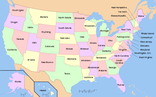
Do You Know Your States Quiz

post by Madi Ohashi and Makamae Nottage

We created this lesson for 3rd graders as a pre test about the states and their locations. In this lesson, the students are asked to recognize the location of the specified states on a blank map. Students would only be tested on a few states to assess their knowledge. Then, the teacher would lead an activity about the states and eventually go over all 50 states. This quiz could be altered for every grade level by switching from states to capitals, cities, or landmarks. The post we created is for a starting point of understanding states, and over time students will begin to learn more about the states and be able to take other similar pretests about other aspects of the states.

Calling All Continents

This lesson is intended for a social studies lesson in second grade. I would use this as a post-assessment after students have learned about identifying continents. The students should be able to identify continent locations and names. This lesson also expands by providing students access to more information and facts about each continent by clicking on them after accurately identifying them.

The Australian Quiz

This activity is a quiz students can complete individually or as a class about Australia. This was designed to be used as an activity for students in 5th/6th grade who study Geography and other countries. It could be used as an introduction or concluding activity about the topic of Australia. The objective/goals of this activity is to help students broaden their knowledge of another country and give them worldly knowledge. Although this can’t be directly monitored by the teacher if students complete this individually, the quiz tells students if their answer is correct or incorrect. This allows students to find the correct answer. The concept of a quiz such as this can be applied to many other topics in Geography, History, Mathematics and even English.

Road Trip Across America

Year 6

Objectives/goals:

  • Students will be able to explore the United States by going on a virtual trip by interacting with different internet platforms.
  • Students will gain insight and ideas for their own road trip chapter books.
  • Students will observe what a city has to offer, such as food, historical landmarks, or places of entertainment.

For using this in the classroom with students I think I would use this as an introduction to writing a road trip chapter book. The presentation would give the students ideas on what they can do on their road trip and the types of places they can go to. Also the presentation shows them what kind of information they would need to look up in order for their road trip to seem real.

Food Groups

This lesson is made for students in 3rd-fourth grade who have experience with computers. The lesson goals are to teach students the main food groups and serving sizes to eat in a meal. The teacher will first go through the basic food groups and what the recommended daily servings of each are. Then, it is the students’ turn to practice what they learned by dragging food and labels on the dinner plate to the correct areas to portion out the meal. Afterwards, students can click on the picture to follow a link to a website to play games and learn more about healthy food and lifestyle choices. Teachers aren’t meant to grade students, but observe as they get more practice with what they just learned as well as with the technology.

Name That Island!

by Sabrina Pangelinan & Lauryn Nakashima

For our post, we are doing a “Name That Island” review, meant for fourth graders, where the student will need to drag the corresponding name to the correct island in the picture.  This is meant to be a review where as a class, we have learned where the islands are located previously.  The goal for the students is to be able to name all the Hawaiian Islands and the Northern Mariana Islands.  To use it with our students, we would have them use their computers to access the editable PowerPoint.  The students will then go through it and drag the name of the island to the correct island in the picture next to it.   

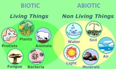
Abiotic Vs Biotic

Target Student Audience: Freshmen

Lesson Goals: Being able to differentiate between Abiotic and Biotic factors

How would you use it with students: Use it as an introduction to a unit before we dive deeper.