EdTech Final Reflection

Technology and instruction can function very well together, and if you want, technology can be incorporated into every lesson. Though I don’t believe that tech should be incorporated into every lesson, having students understand how to use different tools can be very beneficial to them both in school and later on in the job field. I think I now understand more technology and how to use and apply it, but I wouldn’t necessarily say I am more inclined to use it, as I don’t think that using a screen for everything for kids is the right answer.

I liked doing the mini projects rather than tests and papers. I think it holds us more accountable to actually learn the tools and apply them. This tells me that students are more inclined to participate in a task if it has application and is interactive with others.

Overall I think this was a good learning experience and knowing about different technology has helped to expand my knowledge and possible uses in the class.
MyMaps Final Presentation

This is a Co-Post by Caroline Halvorson, Ysabelle Saguin, and Rylee Seekins

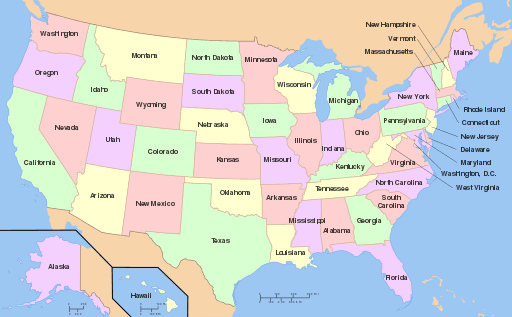
We presented to teachers about how to use MyMaps as a tool in different classrooms. The goal was to have a general understanding of how to use the tool as well as different ways it can be applied. The variety of uses can improve any lesson that incorporates maps, particularly in social studies. Geography and political climate can be studied using this tool as well as historical landmarks. This is an easy to utilize tool in a 3rd-5th grade classroom.

Sharks! Edpuzzle

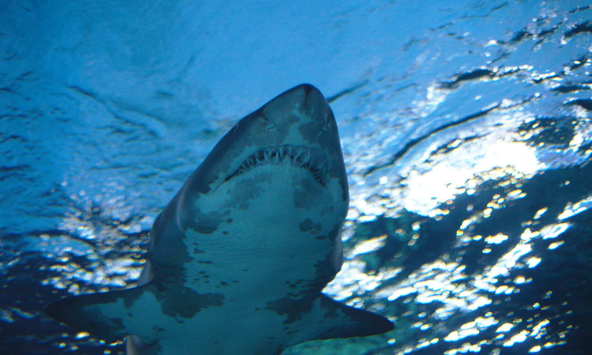
I really enjoyed using Edpuzzle. Assuming the students all have access to a device, this is a great way to assign something they can work on individually. It is very interactive and easy to use and insert questions for students to respond to. It is also really nice that you can cut the video so even if a video is 10 minutes long, it can be cut down into a more manageable section. The option to assign it to the students is really effective and can help the teacher to know that the students are completing their work.

Google Tour

The google tour could be useful if maps are needed for a lesson, but it is pretty time consuming to add different locations and scenes. It wouldn’t be useful outside of a social studies lesson and has a pretty specific use. While it is functional and easy to use, the practical application is relatively limited in the classroom.

Spark Page

I preferred using Spark Page over Sway because I find it easier to navigate and with more options to customize. The page seemed less glitchy and made more sense overall to use. The only downside is that it can’t be collaborated on. Otherwise, I really liked Spark Page, I think it could be very useful in teaching and having students present their learning.

Visit to DC

Where I’m From: Spokane, WA

I grew up in Spokane, WA and the surrounding areas. I think the Sway would be a good way for students to express their knowledge in a different way. It’s a little difficult to use but could be functional. It can be edited by multiple people, but I don’t know how easy it would be to use with a group. I didn’t like how the captions can’t be shown all the time, but by using text it can function as a caption. I don’t know how I would use this in the classroom specifically, but a project could be made around it.

Adobe Spark Hero’s Journey

This is a fun tool to use that students can use to create a product to showcase their learning. For example, if students are learning about the Hero’s Journey, they can create a video explanation of their learning. With this tool, students can use photos, text, music, and voice over to create a product that shows their learning. The biggest issue is that the more slides that are added, the longer it takes for everything to load. Though everything is free, it is a bit time consuming to create a whole product, but if there is enough time, this could be used as a good learning tool, time permitting. There are some issues but overall could be useful.

https://spark.adobe.com/video/vIk5AfyBNU0pL

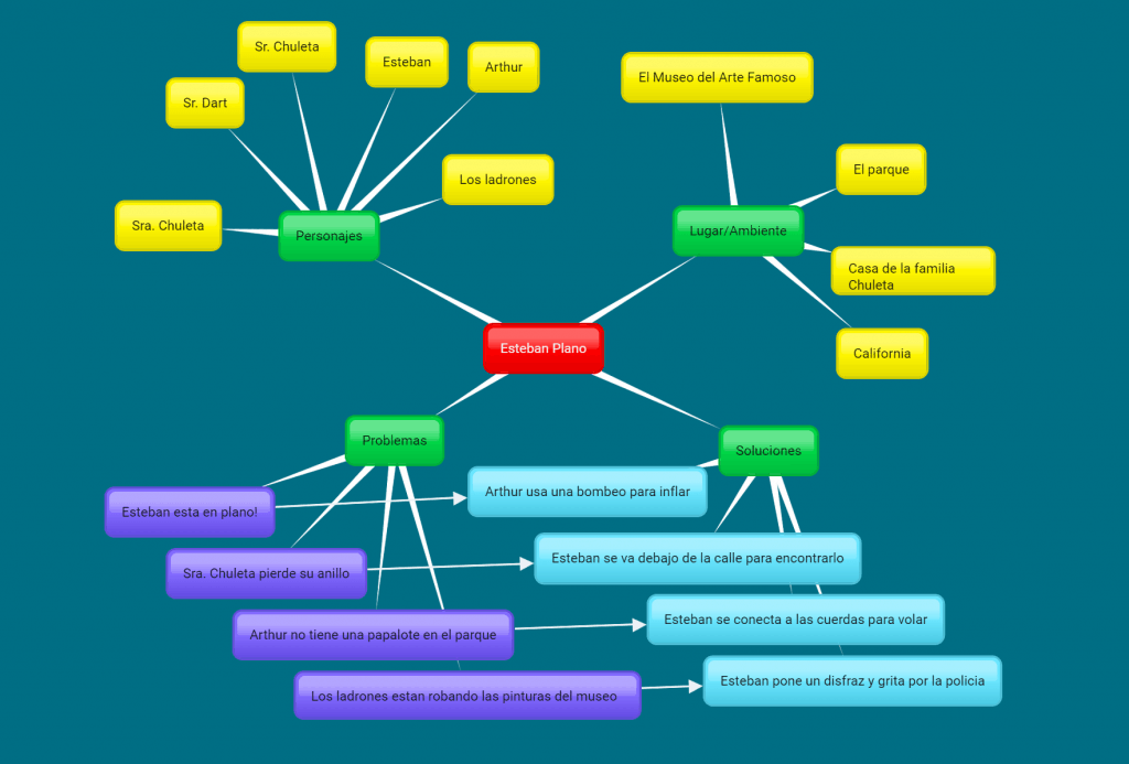
Bubbl.us for Esteban Plano (Flat Stanley)

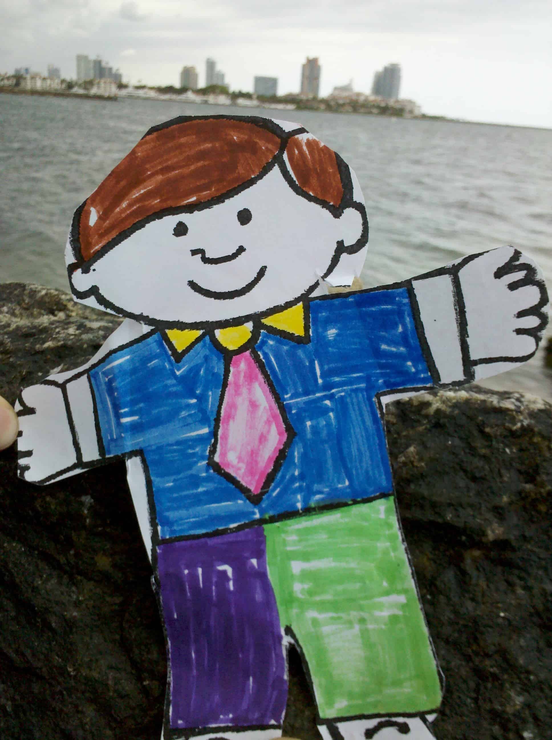
This is a great tool for helping to create things like a chart about a book. Being able to connect the pieces together is very useful and the colors help as a visual aid. Being able to project this instead of having to write everything out on paper is really useful for a class. Students could also make their own individual ones to showcase what they know so those who struggle with writing can type it out.

https://bubbl.us/NTA4MTU1Mi85NzIwMDYwL2E0ZmFkNzlhMWEwNDc1MDQ5NTg0ODY0ODZmOWNlMTAw-X?utm_source=shared-link&utm_medium=link&s=9720060

Travel the Oregon Trail

By: Sam Laughlin and Caroline Halvorson

This is a map following the Oregon Trail. Typically in the 4th grade students learn about the Oregon trail and having an interactive map that leads to outside sources with information. The map conveys the path of the trail and can see what the topographical map would have looked like then as well as how long it would have taken then to travel across the continent versus what it takes now.

Balloons Over Broadway

This is a co-post by: Ysabelle Saguin and Caroline Halvorson

Target Student Audience: 2nd grade class

Lesson goals: Students will explore the book and its world through links to external resources

Students can each have a copy with the links and access the material on their individual devices or could be used as a whole class on a shared teacher device.

Header Photo: Macy’s 2014 Thanksgiving Day Parade