Tour Around Your Neighborhood

Hello 3rd graders! Have you ever used a map before? Maps are tools that we can use to help orient ourselves and figure out directions to get somewhere. Some maps show us the geography of the land area, some show us the highways and roads while other maps like thematic maps show us the weather of the specific area. For today’s assignment, you are going to be asked to create your own map of your neighborhood after taking a walking tour around. With a parent or guardian, you are going to take a walk around your neighborhood and make note of any specific landmarks like coffee shops, parks, or stores that make up your neighborhood. Then you will be asked to make Google My Map of all the places you visited on your neighborhood walk.

Goal

  • To have the student feel comfortable using an electronic map and become more aware of the own community they live in

Materials

  • Google My Maps Account
  • Electronic device
  • Paper & pencil

Instructions

  • Make sure all students know how to log into their Google My Maps account and now how to create a new map
  • Show the students the different features of the application and how to add locations, edit names, add images
  • Have them go and the neighborhood walk
  • Have students create their maps using the locations they visited (Minimum 3 locations in the neighborhood)

Gallery Walk

  • After everyone has finished and submitted their maps the student will display their maps on their computer. Then the whole class will go on a gallery walk to see their classmates’ maps and the different things that some students included in their map

Example Neighborhood Walk:

This map was created using the University of Portland as its home base. The tour includes a stop at Sparrow Bakery, a trip to Fred Meyers, a nice stroll to Columbia Park, and then back to campus.

https://www.google.com/maps/d/edit?mid=1n_5ve3WeP235pxvU31qYDWmijWeyZSA&usp=sharing

Featured Image: Image by macrovector on Freepik

If We Had a Million Dollars

This is a third grade math lesson that surrounds budgeting and using money. The lesson will be after students are introduced to the basics of money in the real world. Students will be asked to look at the MyMap created of field trips that would be fun to take if we (as a class) had a million dollars. Students will pair up, pick one location, and are given a budget that they must follow when planning a field trip to that destination. Students will have to consider plane tickets, where we will stay, tickets to the location, food, transportation, exc. This requires at least one device per group so they can research their destination and the cost of the list above.

https://www.google.com/maps/d/edit?mid=17-Jmjxq9Y3_0qZjW4fj5ZiA2aKSrKB4&usp=sharing

The goal should be used to let student investigate where the destinations are located as well information that can also be found on the website. Students should have time to finish this project, and they will present their findings to the class.

Portland Scavenger Hunt

Hi everyone! Ms. P’s 3rd grade class is going on a day-trip to Portland, Oregon, to learn about a major city and get the chance to write about it! This lesson was inspired from, and combines locations from my 3rd grade scavenger hunt field trip, and my 6th grade bridge project.

Common Core Learning Targets:
  • L.3.1. Demonstrate command of the conventions of standard English grammar and usage when writing or speaking.
  • L.3.2. Demonstrate command of the conventions of standard English capitalization, punctuation, and spelling when writing.
  • W.3.2. Write informative/explanatory texts to examine a topic and convey ideas and information clearly.

Instructions:

Today, you, a parent chaperone, and field trip buddy, will be exploring downtown Portland to get inspiration for our next writing project! Take notes about the things you see and do — what is special about each location and each experience? You will be writing a story based on these experiences using descriptive details and event sequences. Look at the map and pick some locations to go, but please pick:

  • At least 3 bridges
  • At least 2 buildings
  • At least 1 park
Bring with you:
  • A packed lunch (school can provide if necessary)
  • Map of Portland with locations marked/Scavenger Hunt List
  • Pen/Pencil
  • Chaperone and field trip buddy!
Scavenger Hunt:
  • Drink from a Benson Bubbler
  • Pose with one of the Animals in Pools fountains
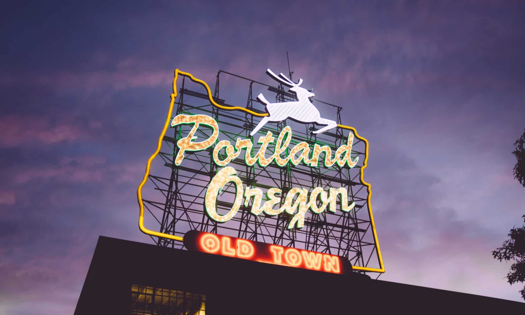
  • Find the white stag sign
  • Perform a song outside of the Keller Auditorium
  • Create a piece of art using plants you’ve found and leave it for someone to find
Map of portland:

Use the map to help you find your way — plan which locations you would like to go to and save them!

End of the day:

We will all meet at 2:30pm at Powell’s Bookstore, marked with a RED heart on the map.


Credits

Photo by peter bucks on Unsplash

-Nicole Pagtakhan

Tour Around Town: Wilsonville

Second Grade Lesson on the Local Community: Boeckman Creek Primary

Hello super second graders!
Have you ever used a map before? Maps are tools that can be used to help us find our way somewhere, and can be super helpful, especially if you want to explore!
Below is a map of our very own town!
I have gone ahead and placed a few markers around of some important locations around our very own city of Wilsonville, and I want YOU to find out how many of each we have, and what their names are!


  1. First, look around the map and get oriented, where’s our school? (Boeckman Creek Primary)
  2. Then, find some key locations that you may have seen/been to before. Murase Plaza? Memorial Park? Town Center Park? Graham Oaks?
  3. Answer the questions provided beneath the map on a scratch piece of paper and turn in to Mr. Marelich for your exit ticket!
  4. Have Fun, and Good Luck on your adventure!

Questions:
How many parks are listed? How many have you been to before?

Which two parks are connected by a trail?

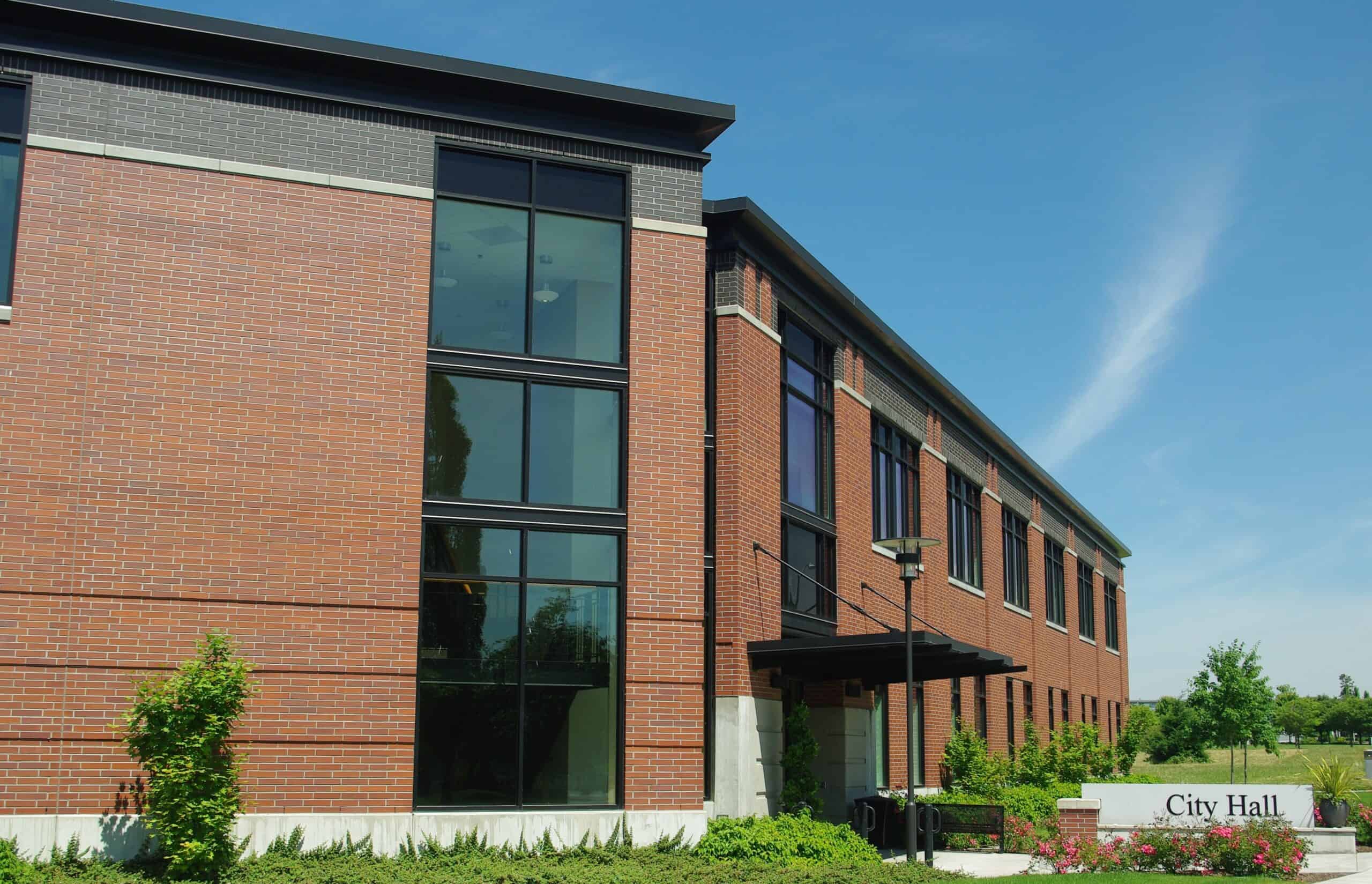
What’s the closest feature near City Hall?

How many primary schools are in Wilsonville?

How many Fire Stations?

How many Police Stations?

Are there any other key locations?


Goal of the Lesson:
The goal of the lesson would be for students to become more aware of the city they live in, as well as gain familiarity with using a map. My hope would be for my students to become familiar with where they can go for help such as the police station and fire station, as well as where the main Public Parks, Primary Schools, and Library are located.

The map helps students find these locations by having them pinned and color coded so that students can see where these high-interest locations are. Students may also turn on satellite view in order to see these locations as they appear from above.


Citations:

Image thanks to: By M.O. Stevens – Own work, CC BY 3.0, https://commons.wikimedia.org/w/index.php?curid=7108597


Our Class Gets Lost in Portland!

Photo by Zack Spear on Unsplash

This activity is targeted for 2nd graders, and would ideally be completed at the beginning of the school year, however it would still be a fun and educational activity later in the year as well.

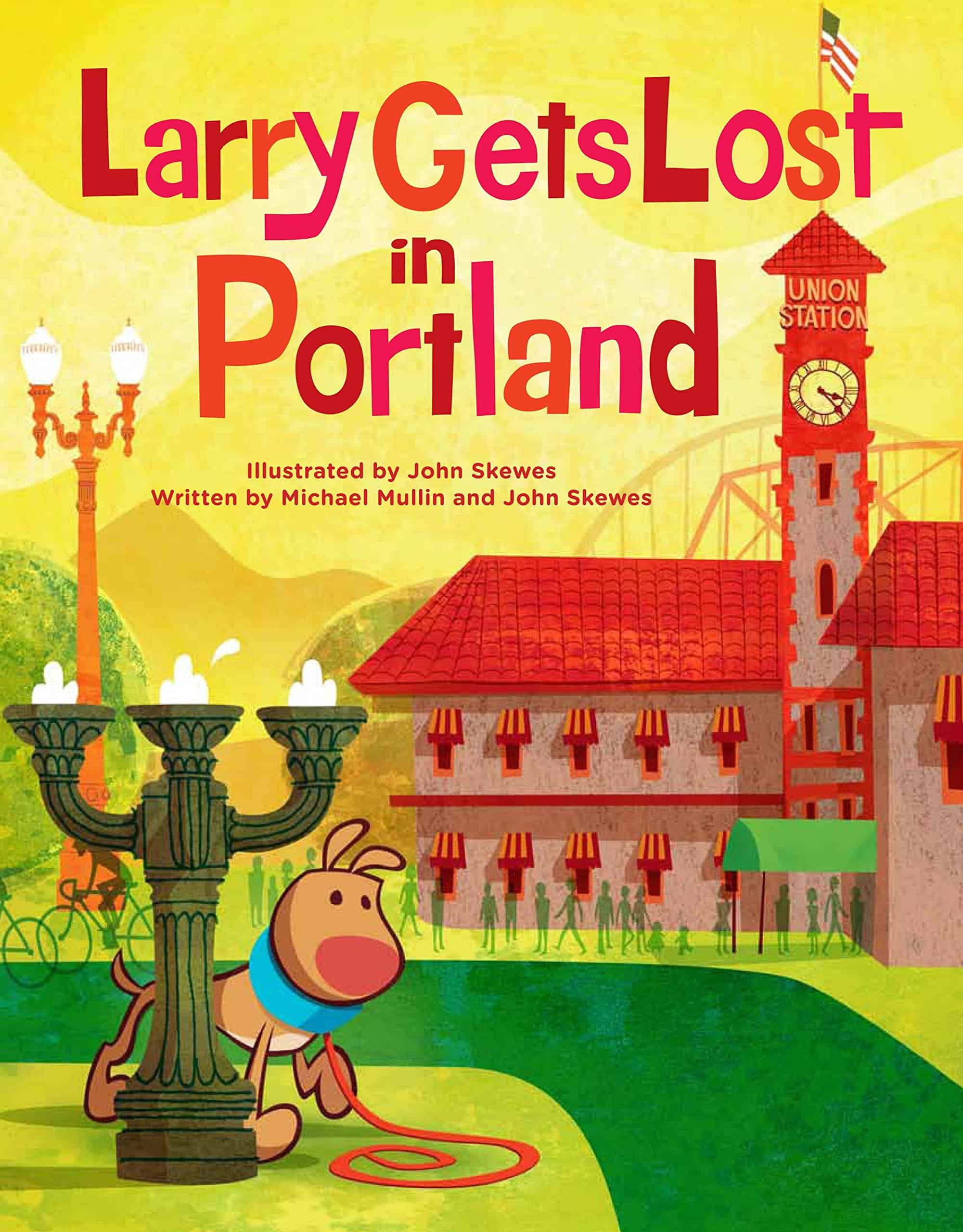
The lesson would begin with the teacher reading the book Larry Gets Lost in Portland, written by Michael Mullin and John Skewes. In this book, Larry goes with his owner Pete and his family on a trip to Portland, Oregon. While there, Larry is distracted by food and loses his family when he chases after it. As he tries to find Pete and his family again, Larry journeys all over Portland and sees all sorts of landmarks and attractions.

Over the course of the book, Larry visits 12 places, but we don’t learn much about each spot beside its name.

Larry at the Rose Garden

Student Instructions

We’re going to make a map based on where Larry went in Portland and where we like to go in Portland! On your map, you should include all of the places Larry saw, and add 1-2 facts about each location that you researched.

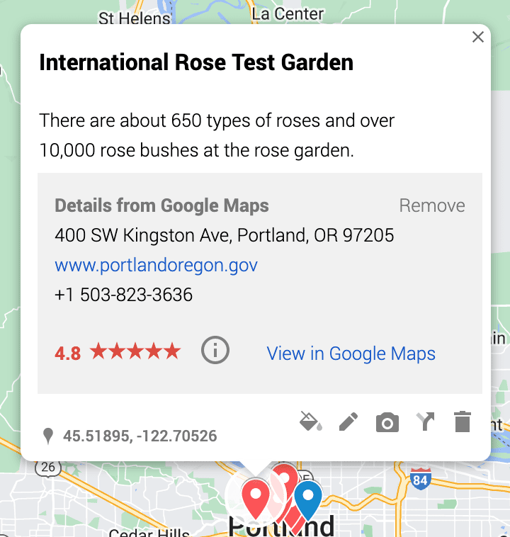
Teacher example: I researched the Portland Rose Garden, and chose to include this fact because it was new information to me and I thought it was interesting
  • Places Larry visited
    • Old Town
    • OMSI
    • The waterfront
    • Hawthorne Bridge
    • The Park Blocks
    • Powell’s Books
    • The zoo
    • International Rose Test Garden
    • Portland Art Museum
    • Jen Weld
    • Hawthorne Bridge
    • Light Rail and streetcar
    • Union Station

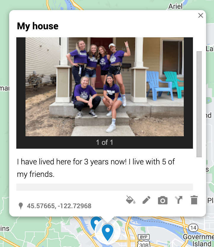
In addition to the 12 location Larry went to, you should add 5-10 places in Portland that are important to you or where you like to go. These places should be in a different layer than the places Larry went, should include a picture (preferably one taken by you or one that includes you in it), and a 1-2 sentence description of what it is and why it is important to you.

Teacher example: This is one of the locations that I added to my map to show a place in Portland important to me.

Once everyone has completed their map, we will share our maps with the class. You will choose one of the places Larry went and tell us what you learned about it during your research. You will then share the locations you added that are important to you, the pictures you included, and what you wrote about each one.

_______________________________________________________________

This project serves to teach students about important features of Portland, learn about other students in their class, and practice research and sentence writing. It would be especially fun and useful at the beginning of the year because it will help students form connections and foster a positive, close-knit classroom community.

My own map for reference/ example:

This project could also very easily be translated to a different location as there are various Larry books in which he gets lost in Boston, New York City, Seattle, the USA, etc.

MyMaps National Park Environmental Science/Geography Journey

I have always wanted to travel the United States, but particularly the many National Parks in our country. I would use my MyMaps I have created for 5th graders to talk about the geography, nature, and environmental anomalies of the United States. This map has some videos, but I would like to do more research on the special aspects of the nature of each national park that I chose. An example would be the geysers and hot springs in Yellowstone National Park and the different kinds of volcanoes at Lassen Volcanic National Park. Students can also pick 1 of the parks and choose to do a project on it as well. The ideas are endless!

Neighborhood Walk

2nd grade Google My Maps Lesson. Students will create a walking map of areas they want to check out in their neighborhood on a walk with family or friends outside of school. This allows them to learn about their community and what resources are near their school.

Image by Andrew Martin from Pixabay

Objective: Students will be able to identify different places and features in their neighborhood using Google My Maps. They will also learn how to create a map using Google My Maps.

Materials:

  • Laptops for each student

Introduction (10 minutes):

  • Ask students if they have ever taken a walk around their neighborhood and what they saw.
  • Explain that they are going to use technology to help them explore their neighborhood and create a walking map. Tell them that they can do this walk with their family or friends outside of school.
  • Introduce Google My Maps and how it works while students are on the carpet or at their desks.

Instruction (30 minutes):

  • Have each student log into their Google My Maps account and create a new map.
  • Give students a brief overview of the tools available in Google My Maps (adding markers, labels, lines, etc.).
  • Lead a neighborhood walk, stopping at various places to label and describe what they see (e.g. park, grocery store, etc.).
  • Encourage students to use the map they created to add markers and labels for each place they visit.
  • Help students save their map and share it with the class.

Conclusion (10 minutes):

  • Have students take turns presenting their maps to the class and pointing out the different places and features they identified and the places they want to go.
  • Encourage students to share what they learned about their neighborhood and what they found interesting.
  • Summarize the learning objectives and ask students to reflect on what they learned.

Assessment:

  • Observe students during the neighborhood walk and their use of Google My Maps to assess their understanding of the technology and their ability to identify different places and features in their neighborhood.
  • Review the maps created by each student to assess their understanding of the mapping tools and their ability to create a map.
  • Ask students to reflect on what they learned and what they found interesting to assess their comprehension of the learning objectives.

Example Neighborhood Walk:

I started at Astor School, wanted to walk to McKenna Park, check out University of Portland, then grab a coffee at Cathedral Coffee.

Direct Link: https://www.google.com/maps/d/u/0/edit?mid=1oYnfApW_wQRelSLGJPqdSwmrj3TJRsk&usp=sharing

This lesson was created with chatGPT but I edited it slightly.