

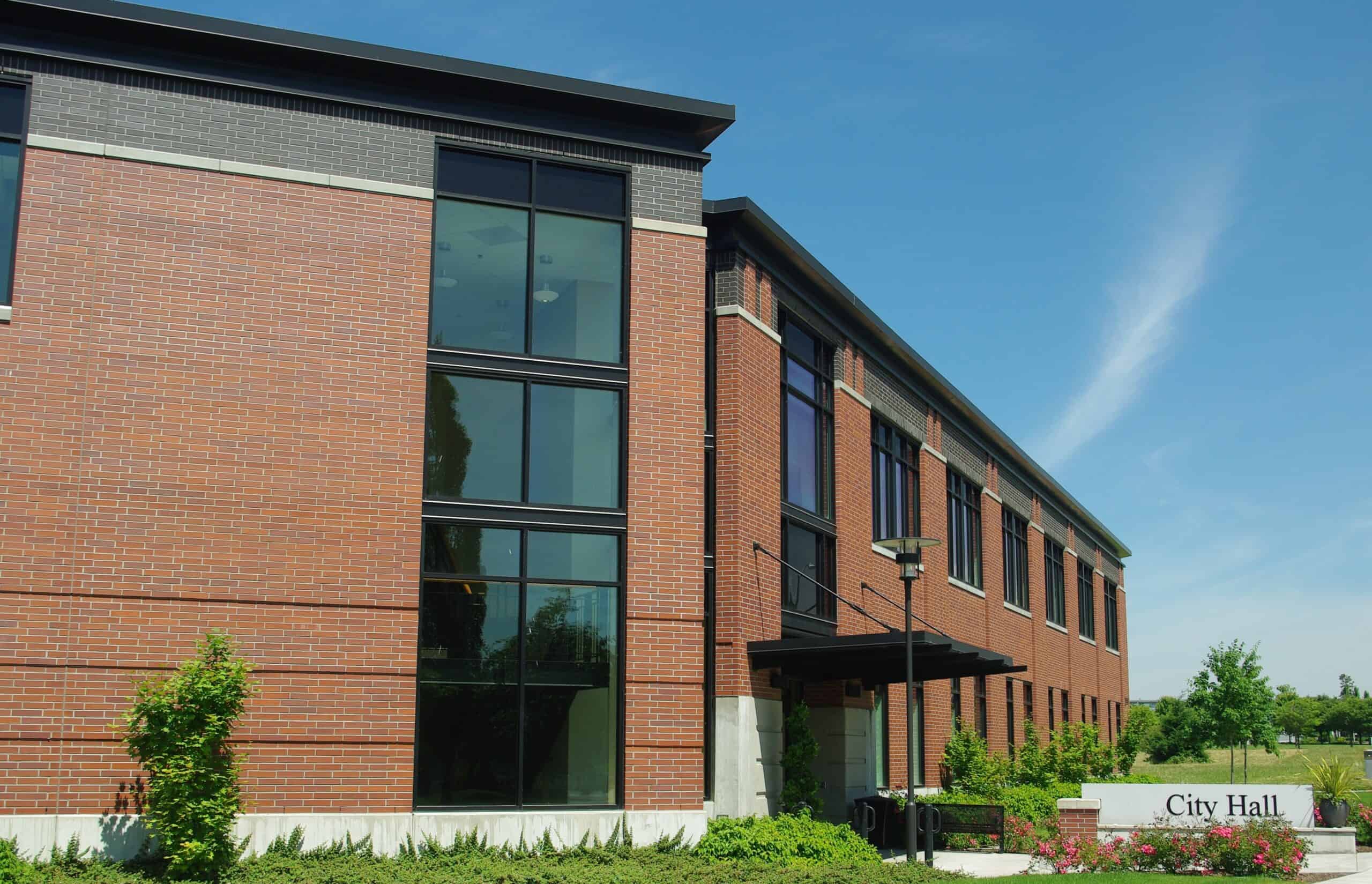
Second Grade Lesson on the Local Community: Boeckman Creek Primary
Hello super second graders!
Have you ever used a map before? Maps are tools that can be used to help us find our way somewhere, and can be super helpful, especially if you want to explore!
Below is a map of our very own town!
I have gone ahead and placed a few markers around of some important locations around our very own city of Wilsonville, and I want YOU to find out how many of each we have, and what their names are!
- First, look around the map and get oriented, where’s our school? (Boeckman Creek Primary)
- Then, find some key locations that you may have seen/been to before. Murase Plaza? Memorial Park? Town Center Park? Graham Oaks?
- Answer the questions provided beneath the map on a scratch piece of paper and turn in to Mr. Marelich for your exit ticket!
- Have Fun, and Good Luck on your adventure!
Questions:
How many parks are listed? How many have you been to before?
Which two parks are connected by a trail?
What’s the closest feature near City Hall?
How many primary schools are in Wilsonville?
How many Fire Stations?
How many Police Stations?
Are there any other key locations?
Goal of the Lesson:
The goal of the lesson would be for students to become more aware of the city they live in, as well as gain familiarity with using a map. My hope would be for my students to become familiar with where they can go for help such as the police station and fire station, as well as where the main Public Parks, Primary Schools, and Library are located.
The map helps students find these locations by having them pinned and color coded so that students can see where these high-interest locations are. Students may also turn on satellite view in order to see these locations as they appear from above.
Citations:
Image thanks to: By M.O. Stevens – Own work, CC BY 3.0, https://commons.wikimedia.org/w/index.php?curid=7108597
Chandler, a well-planned map – with categories of local Gov’t and services. Does a good job of orienting students to their community. Some manageable tasks for students. Could open opportunity for follow up – creating walking tour and the like.
Hi Chandler, this lesson is simple but effective! I love the question about students finding other key locations, it adds that personal connection and it allows students to share fun locations with their peers. It would be cool if you pointed out the middle schools/their boundaries and had them discuss which schools they might go to after elementary school!