
Hey 8th graders! Today we are going to use Google Maps to practice using the distance formula. You will use the map and the slides linked below to complete 6 practice problems. Here are your directions:
- Open the Google Map in a separate tab. Become familiar with the points that are plotted on the map. We have fun locations in the PNW like Mt. St. Helens, Cannon Beach and much more!
2. Click the link below to create your individual copy the slides. This is where you will complete all of your work. You may do so by writing on the slides, linking a Jamboard or uploaded a picture of written work.
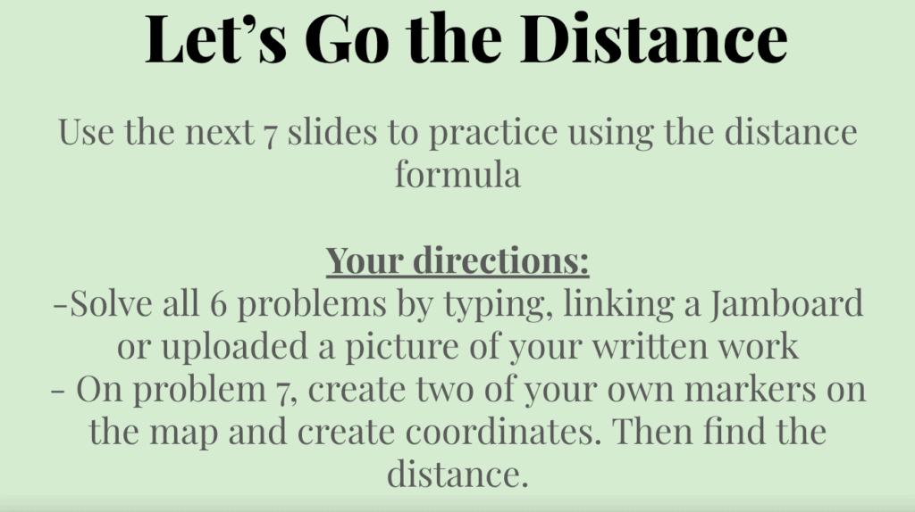
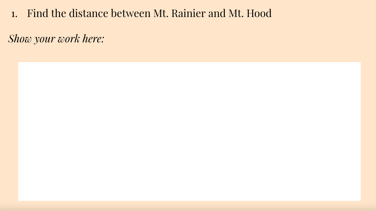
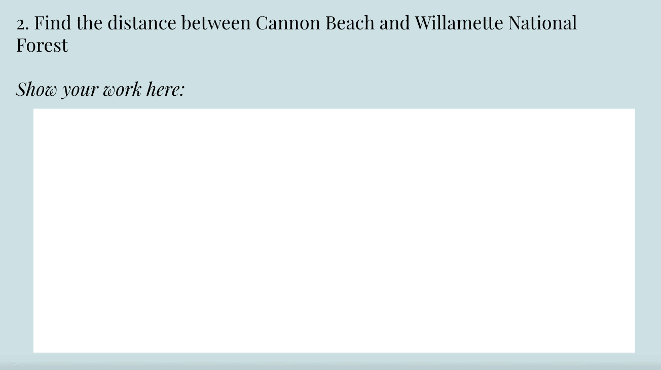
3. Find the distance between the points written on the Google slide. In order to find the coordinates of each place, click the blue marker and the coordinates will be written below. Portland’s coordinates are 0,0.
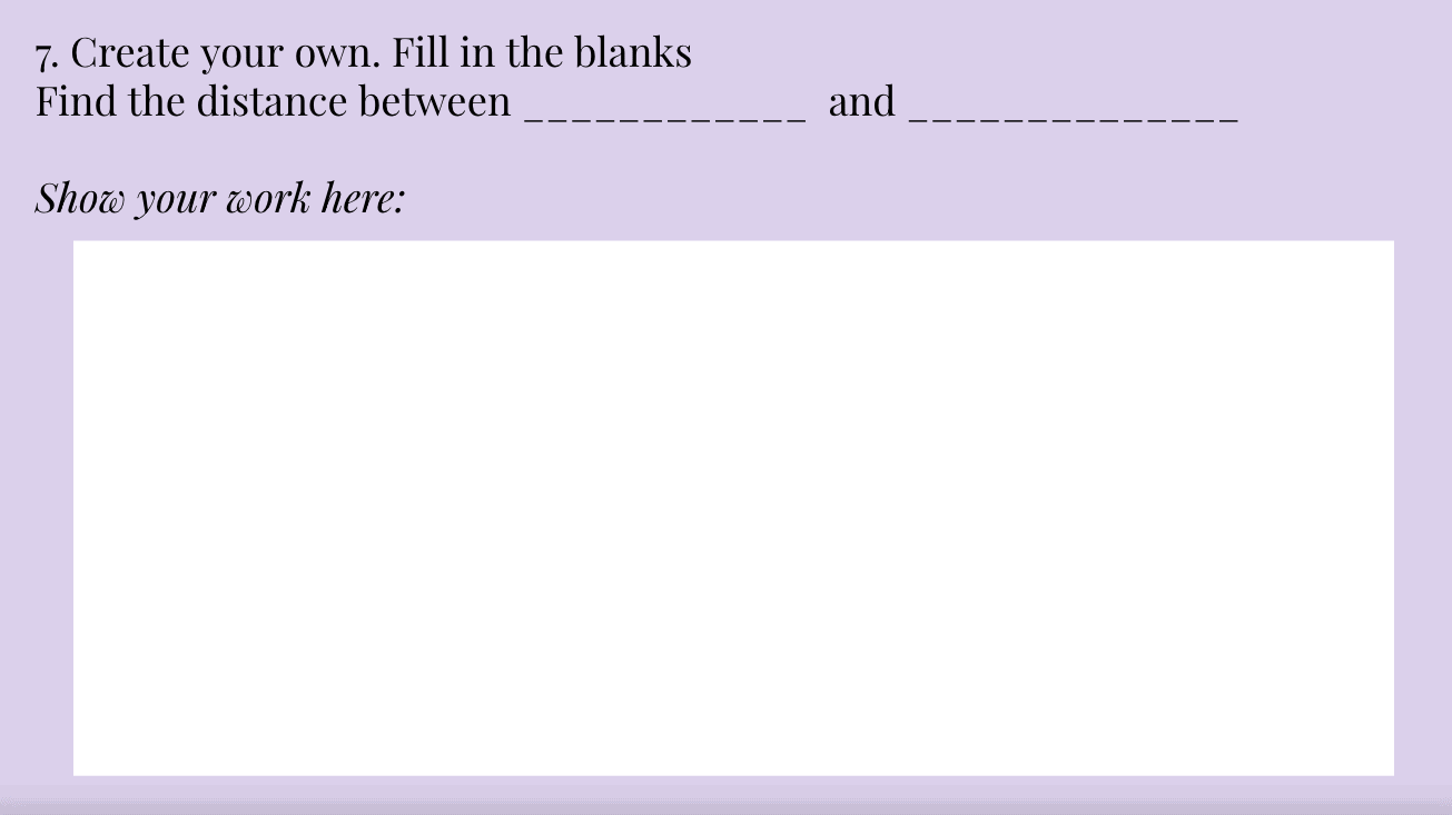
4. Once you have completed all 6 of the practice problems. Make 2 of your own new locations on the map and find the distance between them. Take a screenshot of your two locations and use the distance formula again to solve.
Goal:
The goal of this activity is to have students practice using distance formula with coordinates in a fun and interactive way. This allows for the students to gain a conceptual understanding of what it means when we use the distance formula to find the length between two points. This activity also asks the students to practice with their procedural knowledge. I wanted to base the map in Portland that way my students have a better understanding of where the places are.
Hi Marissa, this is such a great activity for students when they are learning the distance formula as well as allow them to get practice using maps and coordinate points!
Great way to showcase how to integrate MyMaps into instruction. The use of real landmarks will be much more engaging than abstract points on a worksheet. I especially like how they get to add their own point to the exercise.
I can see how the relative position on map corresponds to coordinates, but am I correct that you arbitrarily gave them the specific numbers? (They all are relative to Portland).
So would you expect their location and coordinates to roughly fit into your original scheme?
PS – You need to reset permission on your slides so all can view. Tho I like the inclusion of the slide shots as a gallery.
Hey Marissa,
I love this math lesson that uses Google Maps, it so well put together. It gives students a real life context that could be applicable to all. I remember always asking in High School, “why do I need to know this?” specifically during math classes. This is a real life scenario that may make it easier for students to connect to the lesson.
Marissa,
This is such a great way to use math concepts. I, too, sometimes wondered how certain math would apply to real life. Also, did you make your featured image ? That is cool. I love how the directions are laid out for students in such a clear manner. The use of the slideshow to showcase the Jamboard activity is fantastic as well!
Hi Emma, To make the featured image, I create a design in a site called Canva. It is super easy to use and makes for fun personalized images.
Hi Marissa! This is so cool! What a fun way to use Google maps as a tool! This also helps make math more relatable to students’ everyday lives. I also LOVE the little forms you created for students to show their work! Thanks for sharing!