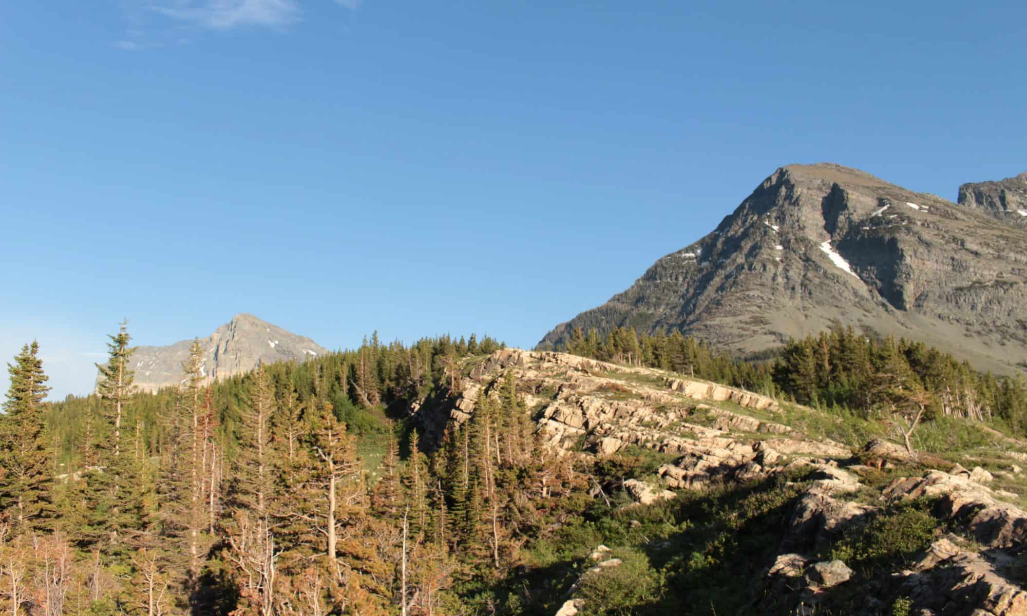
This digital tour is designed to take children to a variety of different places that illustrate the ways in which changing climates and human driven pushes for development have changed different physical landmarks and environmental systems. The map includes 360 photos of different areas for the students to explore, as well as links with images to what the region used to look like, or images to help build understanding. The description of each image also comes with the web address of the information included, to encourage the students to dive deeper into learning about these specific areas.
This activity is designed for upper-elementary students, and could serve a variety of purposes in the classroom. It could serve as a way to help students practice their researching skills and evaluating information. Teachers could break students into four groups (one for each location) and have the groups practice researching in print and online sources to find more information about these locations, and why the region is shifting in the specific ways that it is. Science teachers could also use this as a great way to begin discussing the ways in which human actions impact the environment, and help students to fully immerse themselves in a shift that has been slowly occurring over time.


Claire, this is a beautiful tour! I think when climate change isn’t directly visible, some children have a difficult time conceptualizing it. Now, it can be right in front of the students! You could even have them find their own examples and add to the number of locations effects are visible.
Excellent use of the tech tool to show students both the 360 view and what it used to look like. Appreciate your detailed description of intent. Outstanding.
You should check out Google Earth Engine Timelapse