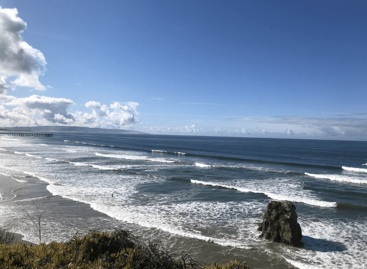
I am from Sunny California

Microsoft Sway:

Using Microsoft Sway was very easy to use I was quickly able to insert my own pictures, but also surf the picture albums on file to add to my presentation if I wanted to. It is a fun and interactive way to create a storyboard or image slide show that can be integrated into the classroom.

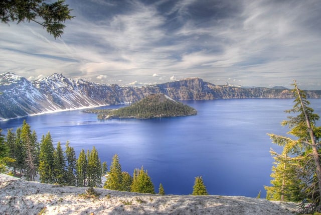
National Parks

Image by David Mark from Pixabay

This lesson is for 4th graders. For this lesson, students will be writing a persuasive piece on why the government should open and protect more national parks. Students will be given time to research what makes a national park and how many we already have in the US. Students will have to pick a park as their example and explain why we need more places like it.

https://map.proxi.co/r/GYpR7AZhGeIDu0-du0cN

powered by Proxi

What do you see? Do we have a lot of National Parks?

Today you will be doing research on the national parks and why they were created. You can look and choose from the map. if you click on the makers, you can see pictures from the actual park. You will choose one park and do research on it. You need to find at least 5 facts about the park. When you have written down the 5 facts, you will write a paragraph on why this park is important and special.

I am from the Rain – Chandler M.

I am from the rain
The torrential downpours of Oregon.
I have been living in Oregon for nearly my entire life. I moved up here back when I was 6 with my family for work. My father came up without us to start work, and we followed up a month or so later. I remember arriving in Wilsonville for the first time. It felt so green compared to my old home in San Jose.
We were the only members of my family who made it this far up north, everyone else was strewed around central to southern California.

The arid winds of the Mojave.
My grandfather would invite us to his home out in the Mojave from time to time. As a child I couldn’t stand the heat and red ants that blanketed the town like a straight jacket. It was almost inescapable. Yet, as much as I disliked the climate, I loved to visit my grandfather more.

I have grown alongside the rain.
I have spent most of my life watching the rain, playing in it, and waiting for it. It is truly calming to me, and I’m entranced by it utterly.

Enjoyed as it danced across the window panes during an afternoon shower.
I would often look out the window to the street, watching as the rain rolled off the glass, and down into the gutter. Like several small streams converging to form a river along the street.

Watched in shock as it swallowed streets and raised the Willamette.
Every once in a while when it was raining particularly hard, I would go to the park with my family and check on the river. There’s a floating pier there, and one year it was swallowed by the river itself. Having been caught by the pillars and ramp that held it in place.

Watched in awe as it fed my plants, and helped them grow.
I would often grow my garden at the tail-end of Winter / early Spring and would watch as the rain fell, helping to grow my plants.
Onions, Beans, Mint, Radishes, and Rosemary, all of my wonderful plants grew under the light of the sun and the bountiful rain.

I am from the Rain, I am from Oregon.

What I liked about this app:
I used sway as I hadn’t seen this program from Microsoft before and it intrigued me to see how it would work, and think about the different possibilities with this program. I liked that it saves to my OneDrive, and that its UI looks similar to other tools by Microsoft, which makes it feel more comfortable to get an understanding of.

Sources:
Featured Image: Image by 준원 서 from Pixabay

Travel Budget Project

The project I designed is a travel planning/budgeting project and is ideal for fourth or fifth grade. Students will be tasked to pretend they are a travel agent and plan a multi-day trip given a budget of $1,000 and plan an itinerary via Google My Maps. An important requirement is that the students must explore a culture or cultures outside of their own through planning this imaginary trip. This could be done through sight seeing, activities, dining, etc.

The above is an example map the teacher would show to students to help them gather inspiration. The example has a mix of free and priced activities, as well as different costing dining options. Students have the freedom to include accommodations, routes for a road trip, and more. The goal is for students to explore different cultures, stay within budget, and plan an exciting and fun trip for a potential customer.

Cover photo by Tae Fuller: https://www.pexels.com/photo/golden-gate-bridge-san-francisco-california-1141853/

Civil War Map Adventure

Targeted Students – This lesson could be used for middle or high school students who are studying United States History.

Instructions

Choose three of these locations to learn more about! Use the historical landmarks to help guide your research. Make a compare and contrast bubble chart of all three of the civil war battles to be able to highlight the similarities and differences. Use the map as background information on how where these battles have taken place influence their impact on the war.

Goal

The goal for this lesson is for students to get a better understanding of the major civil war battles and how their locations impacted their final outcomes. This map works towards the goal because it helps giving the students understand how these locations changed their impact of the war.

Where I’m From

I used Sway for this assignment. I really liked the layout and how you could get a lot of different images, even with specific searches. There wasn’t any way I could let an image be in the background with the text in front of it. This only happened with the title slide. There was also no way the text and image could be next to each other and was only allowed to be separate. I think that Adobe Express would have been better. Overall, it has more variety of fonts and layouts. Below is a link to view it.

https://sway.office.com/BTMlvxLHVDCU4ROA?ref=Link&loc=mysways

I Am From

https://express.adobe.com/page-embed.jsI Am From

Why Adobe Express?

I chose to make this story in adobe express because I liked how it had the feature of creating image collages. I also have experience working with sway and thought it would be interesting and useful to explore a new technology. This program was easy to use and navigate,

Featured Image

Christopher Boswell – “Stormy Skies Architecture Landscape Bellevue Washington Downtown City Skyline” (Adobe Express)

Simple Washingtonian

Haley Vick

I am a simple Washingtonian,

Born in Vancouver where the winters are cold and the summers are warm.

Where the leaves turn crisp and beautiful as Fall arrives.

As the cherry blossoms thrive once April hits.

Where we go to the movies,

to the beach,

and to the mountains.

In a home with love and food that fills me up

A home it will always be.

I liked using sway, especially how user friendly it is because I found it to be pretty straightforward. I thought that the pictures that it gave as suggested were pretty accurate and definitely usable. Some of them were quite standard, but it got the job done, and it also does allow for you to put in your own pictures as well.

I am from New Alresford, England

I am from New Alresford, England.
Where some roofs are thatched,
and most houses are cute and small.
Where shops are local businesses, 
and you'll always bump into someone you know.
Where I would walk the High Street after school,
and feed the ducks as a child.
Where watercress grows,
and trains ride through.
Where some of my family still lives,
and I visit each year.

I have tried embedding my story but it won’t work, so here is the link (https://sway.office.com/ydDpeFjitBU6FGYS?ref=Link).

I really enjoyed making my story with Microsoft Sway. It was easy to use and having images to use just by searching within the site was super helpful. This is a good tool to use for a lesson and could be fun!

Exploring National and State Parks in the PNW

This is a lesson for 4th/5th graders that starts off a research and comparative writing project. In this project students will research a state and national park in the PNW and then compare and contrast them in a creative essay. The map allows students to explore several state parks and national parks all at once in order to get an idea of which ones they may want to research.Below are instructions for the students to follow:

Take a look at this map! What do you notice?

You may notice that the Map marks locations with two different symbols. The locations marked with the tree symbol are all State Parks. The locations marked with the mountain symbol are all National Parks. Do a quick write in your writers notebook: what do you know about state parks? what do you know about national parks.

You are going to be researching a State and a National Park in the PNW and writing a creative essay comparing and contrasting them.

Today your task is to:

1.Explore the map (look at the pictures for each location!)

2.Choose one State Park and one National Park from the map that you are interested in writing about.

3.Using your laptop, research the parks that you chose and find 5 interesting facts about each of them.

4.Record the 5 facts in your writers notebook. Make sure to include your sources!

Sources:

Map: Proxi

Featured image: Image by Art Bromage from Pixabay 

Tourist Spots in Portland

Introduction

This lesson is planned for students in a high school Spanish class. The focus of this lesson is to practice vocabulary in Spanish, and have conversations about their homeland. By this point, students would have practiced sentences structures to describe where they live and have conversations with other students to answer to those sentences and questions. This activity is meant for students to get more practice in speaking Spanish with other students, while also allowing them a chance to get to know more about their homeland.

Instructions

Students will create a map of their hometown, homeland, or someone special for them, and mark tourist sights, meaningful/historical places to visit, good restaurants even if they would like to. After marking places students think people should visit, they will form groups and work as “tour guides” to their groups, as they take them around their place speaking and practicing vocabulary in Spanish. Students will also look up information about their sights, so if questions come up, they are ready to respond to them in Spanish, as most tour guides can.

Example

I am from Portland, so I marked a few places on a map for people to visit. These are more tourist locations that I think people should visit at least once. After making the map, I will then form up in a group and then guide them through Portland, telling them some of the history behind some of the locations, and why I chose them.

Credits:

Image by David Mark from Pixabay

Image by Silviu on the street from Pixabay

Exploring Geometry with Google My Maps

Introduction

This lesson is designed for middle school students to apply their area formulas to real life locations. Ideally, students would have learned and had some practice already with the different area formulas. This activity would give them some more practice with the formulas and also let the students see how these formulas can be applied in real life situations.

Instructions

For this lesson, students will have the freedom to choose a location that they find interesting. Students could pick their school, a city, a country, or have a more general theme, such as landmarks. Students will work in groups to find the area of at least five items on their map. For example, students could find the area of a local park in their neighborhood, the area of a city block, or the area of a body of water.

Each group will create a custom map and label the five places they found the area of. Students will be able to use the measure feature on My Maps, but they will need to use those measurements to find the entire area of the location.

Example

In my example below, I found the area of three locations on the University of Portland campus. I used the area of a circle to find the area of Chiles Center, the area of a rectangle to find the area of Merlo Field, and the area of a triangle to find the area of small patch of grass in the Academic Quad. Students will be expected to label the location with the area and the formula(s) they used.

Featured Image: Image by piviso from Pixabay