
4th Grade geography:
Learning the states names and locations is an important part of learning about our place in the world. By knowing where the states are it can make travel easier, and more fun. How many states would you have to go through if you wanted to drive from Oregon to Texas? To know that you need to know where the states are in relation to one another. This exercise is a fun way to do just that.
- In your groups go to the Jamboard and find your slide. (Group 1 is slide 1, Group 2 is slide 2 etc.)
- Move the stickies with the names of the states on them onto the map where they belong. (The east coast is harder because of the smaller states, it is ok to stack the names as needed)
- When everyone in your group is satisfied with your map call the teacher over to check your answers. (Be able to know which of the smaller states goes with which sticky if you stacked them.)
- How many States would you drive through to get from Oregon to Texas?
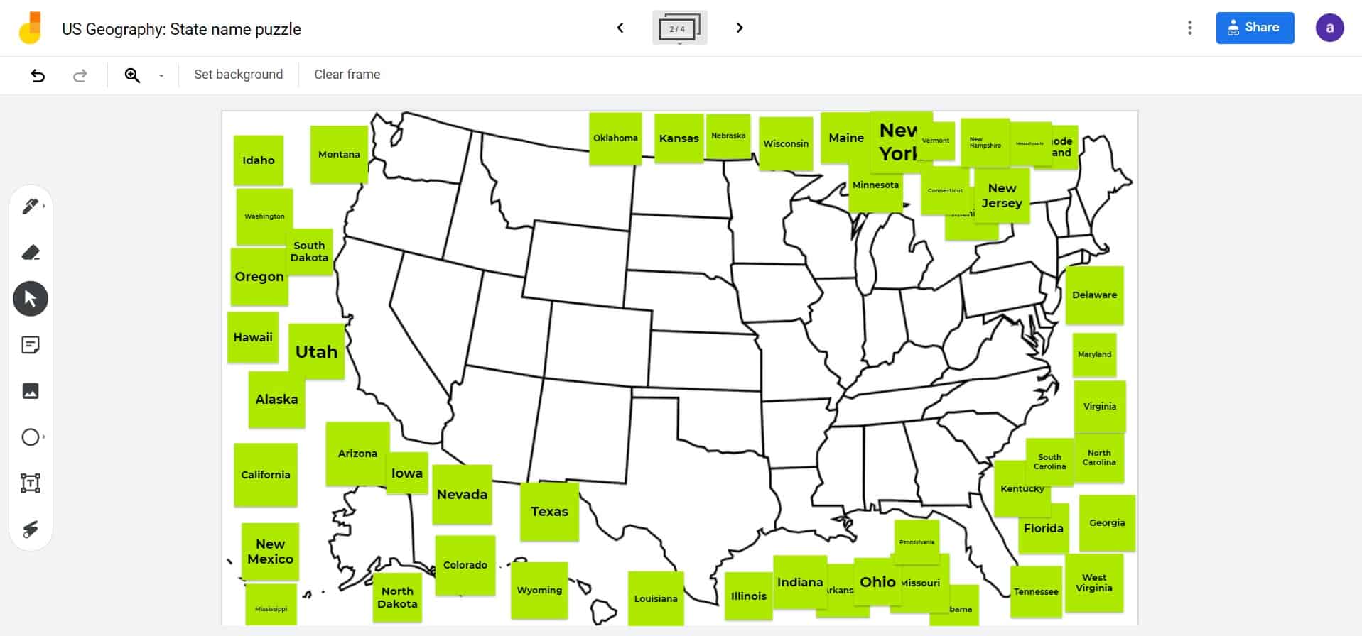

Jamboard link is: here.
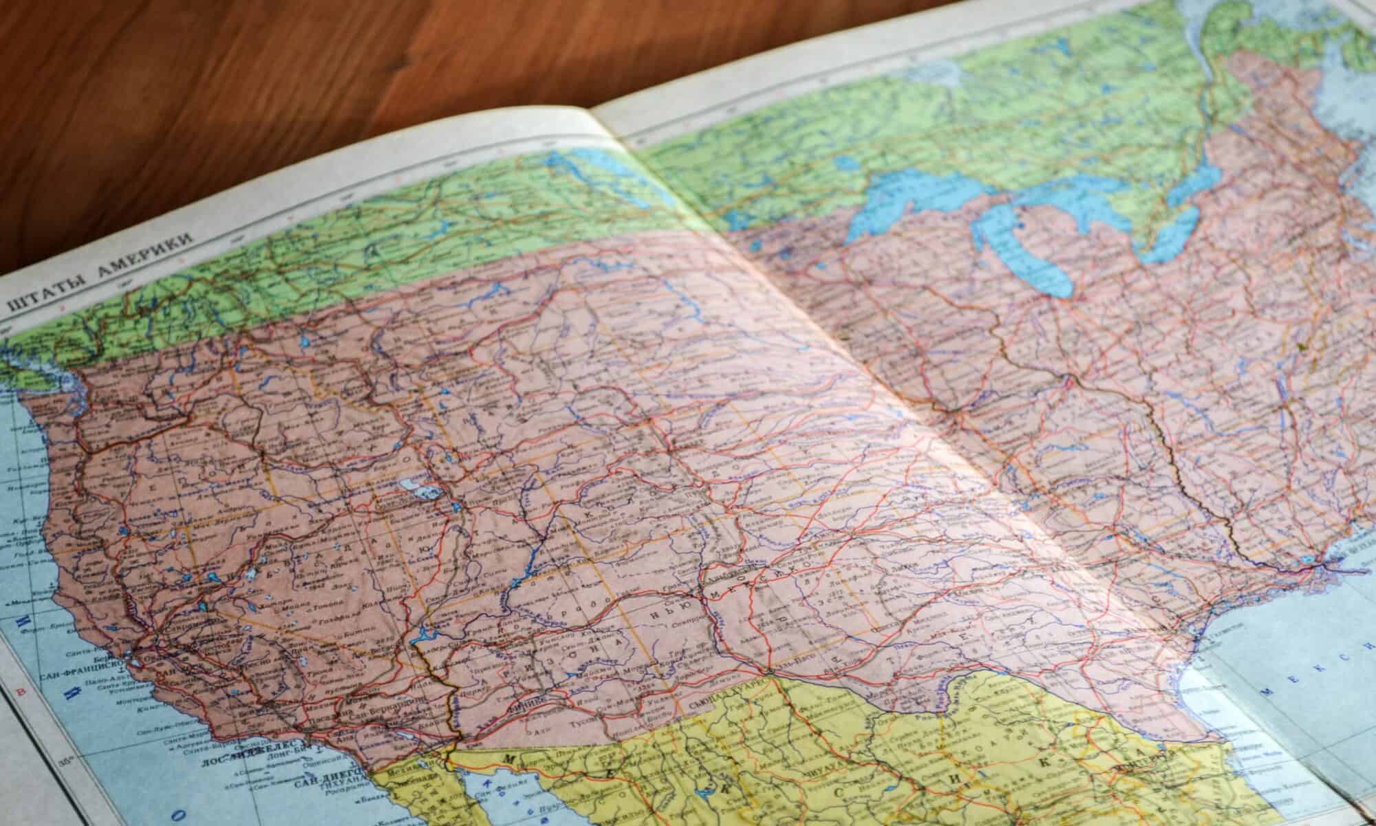
Photo by John-Mark Smith on Unsplash
A great lesson idea for Jamboard geography. (Inspired by your recent trip?). Lots of manipulates for students to explore state locations – absolute and relative.
Plus I give you kudos for creating 200 sticky states for the lesson! Whew …
I only made 50, and copied the slide, then changed the color on 150 of them… lol