
This lesson is designed for a 3rd grade social studies class. For this lesson, students will get in groups of 2-4 and create a shared map on Google Mymaps. Then, they will make markers to indicate certain historical landmarks, national parks, interesting cities, or anything else of note within the United States. Once they are done, they will take time to look through all the points that their group members made as well.
After this, they will choose one location that interests them (it can be one that they found or that their group members found) and they will create an informational poster about it. This can be done on paper, or on any site that lets you make posters or brochures. Afterwards, they will share their location to the class and will also share at least one interesting fact they found about it.
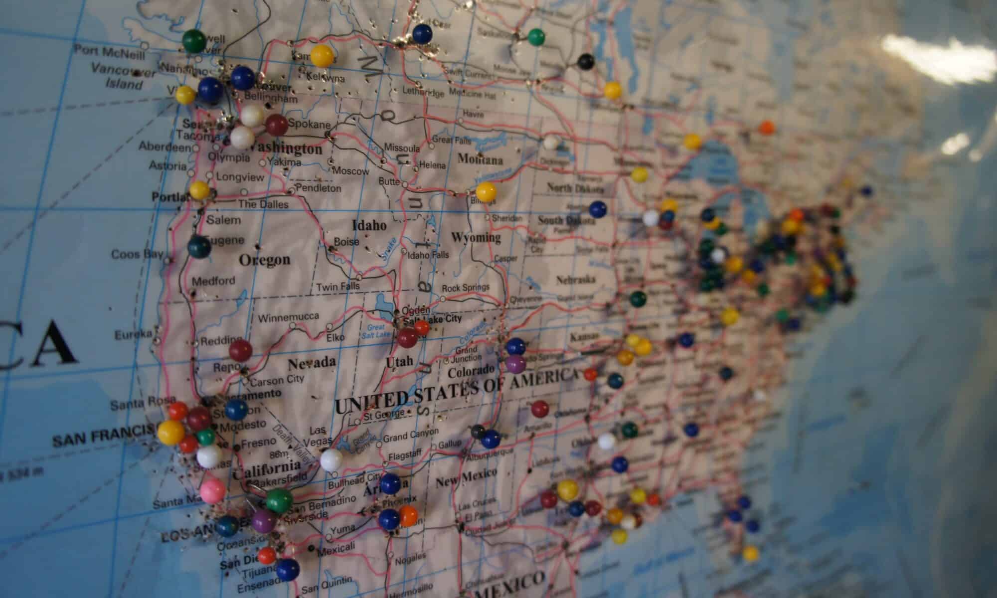
The goal for this lesson is to introduce students to researching and presenting on a topic of their choice. The map allows students to not only get a better visual understanding of how the United States is spaced out, but it also allows students to collaborate with each other, and it gives them the chance to share their ideas both with their small groups and with the entire class. I also wanted to give the students freedom as to how they choose to record and present their information to the group, since this sort of a research assignment could be a very new concept to them.
Jack, a great idea of a MyMap. It offers up geographical location and serves as basis for good idea for student research activities. Offering students the freedom to make choices is always an incentivizer.