
Target Group – 3rd-5th
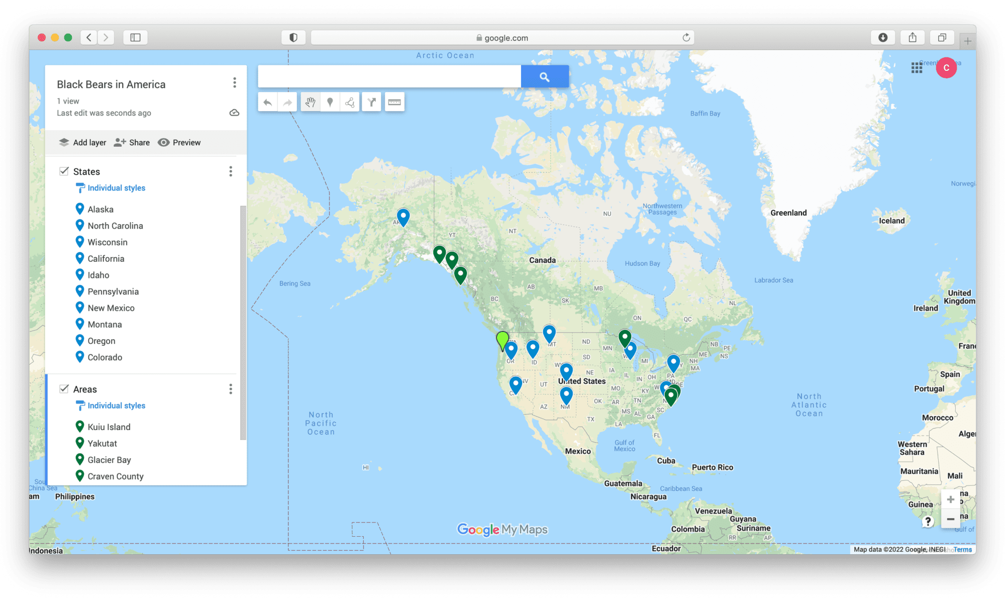
Students will use MyMaps to learn information about a different animal and the places they lived. The reason I put varying ages is because I think third graders could explore a MyMaps that’s already completed on an animal. In fourth grade, the students can choose a place to add to a class MyMaps and in fifth grade they could do their own project on an animal and do the MyMaps on their own. The goal for the lesson is for students to see how the same animal can live in so many different areas.
Chloe, good idea for demonstrating MyMaps. I agree that by 5th grade they could making their own. Also might be fun to try this with Google Earth, since that could really accent the landscape in 3d.
Hi Chloe! This is such a fun way to use MyMaps. I think that if students were able to find where the animal lived that they could do additional research on the habitats. They might be able to look back at the map and determine patterns in terms of landscapes and climate and get a better understanding for how different regions compare or contrast. Great job!