
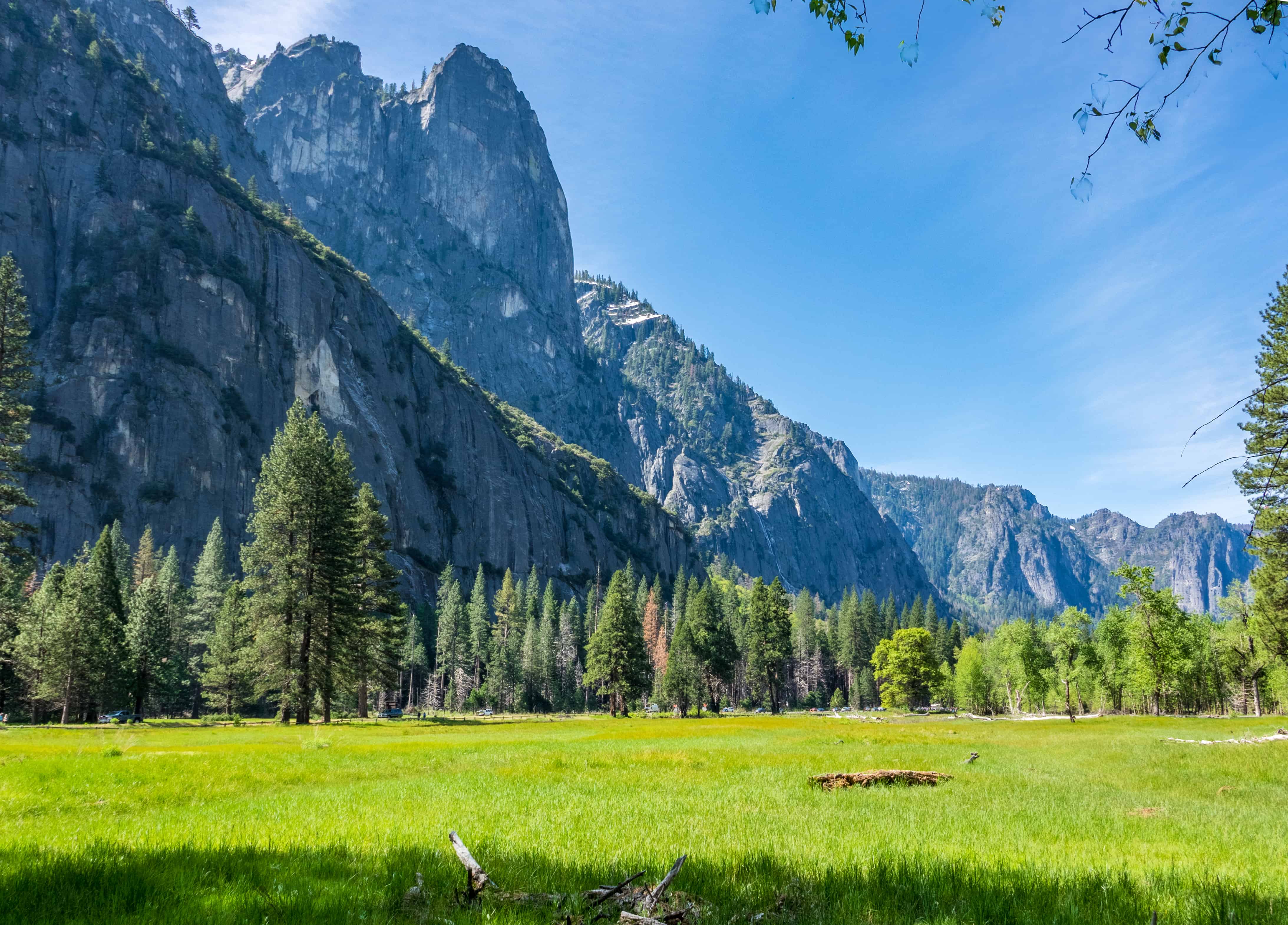

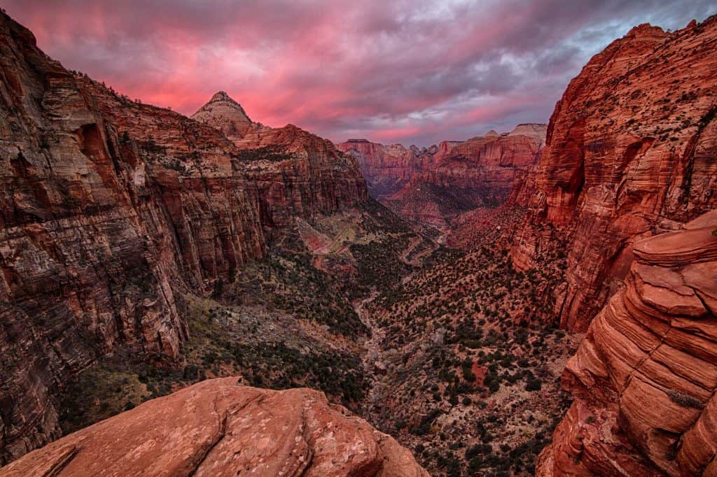
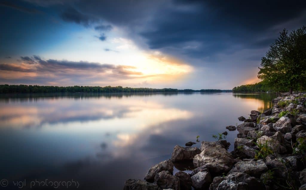

This lesson is meant to introduce students to the geography of the United States by identifying the varying landforms throughout the country.
Guiding Questions: 1. What similarities and differences do you see between these pictures? 2. How might the climates of these areas differ? 3. Can you make any guesses as to how these landforms were made? 4. What parts of the country do you think these landforms are in?
I like the variety in the pictures and how descriptive your guiding questions are.
I like how these questions that you have have room to help scaffold the students learning/ pre-knowledge.