
Google My Maps can be used as a tool for illustrating math word problems. The target grade level for this lesson would be sixth grade. It is a great tool for students who are learning about distance and rates.
Instructions
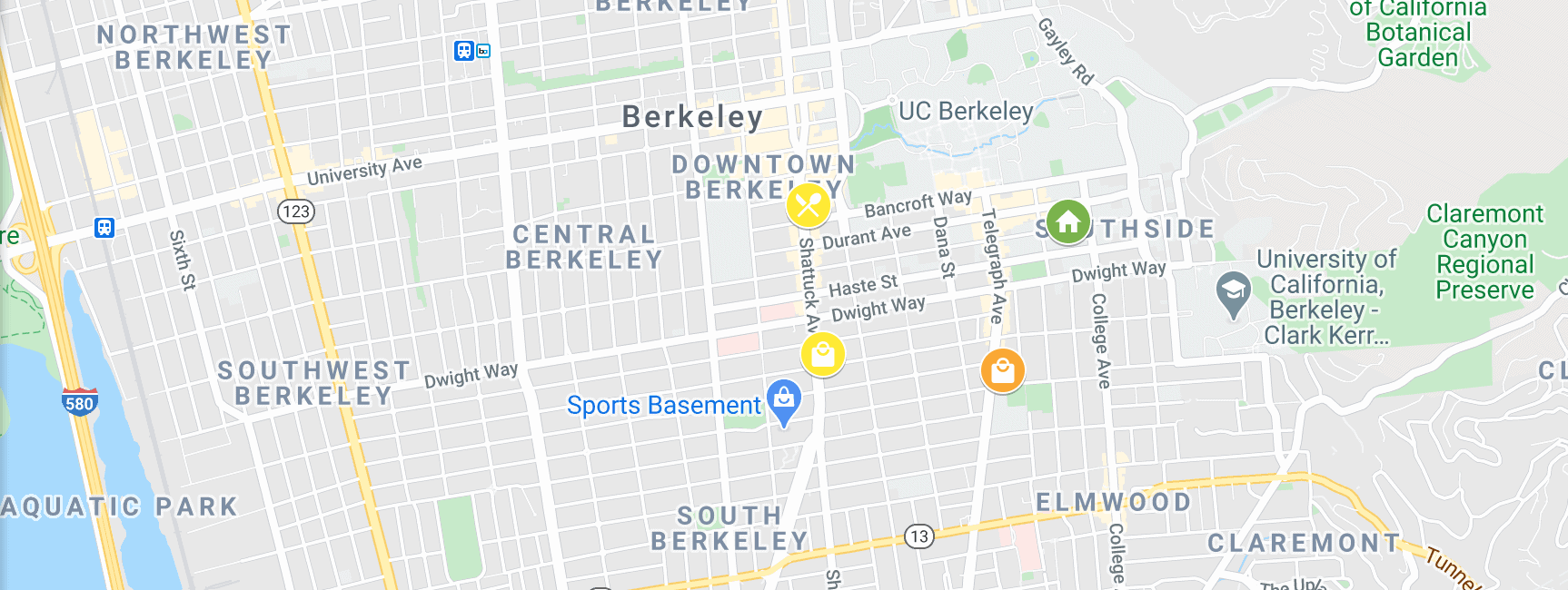
Emily has has 3 things she has to do today. She lives in a dorm (Residence Hall Unit 1). She needs to go to CVS, a Art Store, and her favorite restaurant, Angeline’s Louisiana Kitchen.
She can either take Pathway 1 or Pathway 2. Use the link to access the Google My Maps to answer questions 1-7. Click here to Access The Google My Maps for this problem.
Pathway 1:
From her Dorm to CVS, then to the Art Store, then to Angeline’s Louisiana Kitchen, and then back to her Dorm.
Pathway 2:
From her Dorm to the Art Store, then to Angeline’s Louisiana Kitchen, then to CVS, and then back to her Dorm.
1. Just using the map, which pathway seems longer?
For questions 2-7 use the table below:

2. How fast does Emily walk? Find your answer in miles per hour.
3. Using your answer from above, how many minutes does it take Emily to walk from the dorm to the Arts and Crafts Store? Fill this in on the table above.
4. It takes Emily 52 minutes to walk pathway 1. Use this information to fill in the blanks in the table above.
5. How many miles is pathway 1?
6. How long does it take her to walk pathway 2? How many miles is pathway 2?
7. Is there a faster pathway than pathway 1 and 2? Justify your answer.
Goals
The goal would be for the students to be able to make visual observations about distance. Also that they would be able to be creative and think of different pathways. The Map allows the students to visualize each pathway and explore different combinations of directions.
Furthermore, the questions for this problem have several different ways to go about getting the solution. Each student may find the technique that they understand or recognize from the given problem.
What a great idea for integrating math into a real world word problem. The MyMaps adds another dimension to the lesson – allowing students to both visualize on the map and in their minds.
Fun to click into details and see details of her journey – like what’s cooking at Angeline’s Louisiana Kitchen. I especially like that the exercise allows students to explore and share different “solutions.”
An outstanding example of integrating MyMaps into instruction.
Hi, Chantal!
I think any way you can integrate math with GoogleMaps is a success! Such a creative way to make math fun and relative to the real world.
I like using the tools for math! Not only does it bring in real world experiences with math, but it helps to answer that, “why” when students complain about math. I can also see using this style approach for younger students, by asking things like how many blocks were walked, to have some digital “manipulatives” that can easily be interacted with. I use to do all sorts of land nav and target location in the Army, it uses many of these same types of information, and math+maps. Yet I didn’t think about that. Good job!